
 Wales
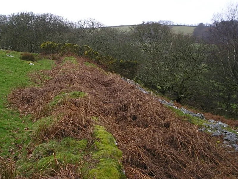
WalesCraig Gwrtheyrn, or Caer Gwrtheyrn, is an Iron Age hillfort on the south side of the River Teifi, about 1.2 miles (1.9 km) west of the village of Llanfihangel-ar-Arth, in Carmarthenshire, Wales [1]. The fort is on an imposing hill overlooking the River Teifi [1]. The defences measure about 160 metres north to south, and 125 metres east to west, following the contours of the hill, enclosing an area of about 1.5 hectares [1]. The drystone rampart, of which traces remain, was originally 2–3 metres thick [1]. There is a ditch around the rampart (except on the very steep north-east side); stones from the rampart have fallen into this [1]. There is an entrance on the south-west, where two further banks create a barbican and where there is also a small area of chevaux de frise: sharp stones set on end, of which about 30 remain [1]. Craig Gwrtheyrn, or Caer Gwrtheyrn, is associated with the 5th-century British warlord Vortigern [1].
Text: Wikipedia – 'Craig Gwrtheyrn' (revision of 2026-07-18), CC BY-SA 4.0 · sentences selected and shortened by an AI system · source →Caer Gwrtheyrn
Also known as: Bryngaer Craig-Gwrtheyrn, Craig Gwrtheyrn, Craig-Gwrtheyrn
| Type | Fortress/citadel |
|---|---|
| Period | 1500 - 500 BC |
| Country | Wales |
| Coordinates | 52.0385° N, 4.2853° W |