
 Wales
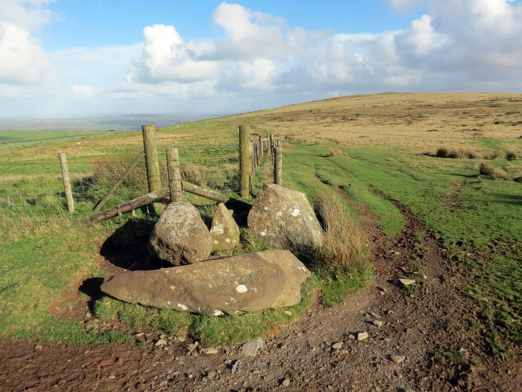
WalesBanc Du is a prominent, fairly flat-topped southwards-projecting promontory of Foel Eryr, at about 334m OD at the west end of the Preseli Hills in north Pembrokeshire, Wales [1]. First spotted during an aerial photographic survey of the region in 1990, this hilltop enclosure consists of two non-concentric and incomplete earthworks that define a roughly oval area around the hilltop [1]. There is a crag-line on the south-east side and steep slopes to the south and west [1]. Although small scale, Banc Du has profound implications for the understanding of occupation of the area in the fourth and third millennia BC [1]. The first confirmed neolithic enclosure in Wales and the mid west of Britain, it is also notable for the fact that visible earthworks survive at ground level [1]. When first built, it would have been contemporary with the great megalithic tombs such as the long barrow at Pentre Ifan just 7.5 km to the north, and the passage grave at Bedd yr Afanc 6 km to the north-east [1].
Text: Wikipedia – 'Banc Du' (revision of 2025-01-15), CC BY-SA 4.0 · sentences selected and shortened by an AI system · source →Banc Du
| Type | Earthwork |
|---|---|
| Period | 4500 - 3000 BC |
| Country | Wales |
| Coordinates | 51.9402° N, 4.8211° W |