
 Ukraine
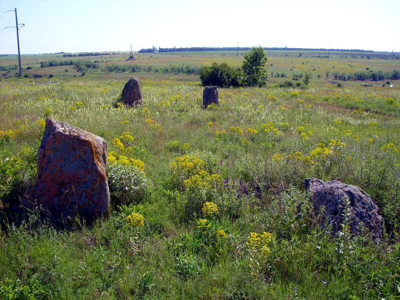
The Boundary Stones is a Late Neolithic megalithic site in Kropyvnytskyi Raion, Kirovohrad Oblast, Ukraine, consisting of two parallel rows of 15 pairs of stone monoliths forming an alley of menhirs [1]. Oriented east to west, the second pair reaches the greatest height, with subsequent pairs progressively decreasing in height [1]. The spacing between adjacent stones increases along the rows [1]. The structure may have served as a cult building associated with a sun deity [1]. No qualified archaeological excavations have been conducted at the site [1].
Boundary Stones, Ukraine
Also known as: Boundary stones, Межевые камни, Межняки, Межові камені
| Type | Standing stone |
|---|---|
| Period | 4500 - 3000 BC |
| Country | Ukraine |
| Coordinates | 48.2127° N, 32.0382° E |