
 Portugal
Castle of Cola is an Iron Age residence and Islamic redoubt in the Portuguese Alentejo, classified as a National Monument [1]. The castro is part of a larger archaeological park of Castro da Cola, that includes various Megalithic and Chalcolithic monuments, including necropolises of the Bronze and Iron Ages [1]. During the period of Islamic influence within the Iberian peninsula, the castro was reinforced to serve as an outpost [1]. The fortification controlled one of the principal routes of passage into the Algarve [1]. The plan of the castle consists of an irregular 125 metres-long polygon, with 60 metres width, consisting of 2.4 metres thick walls, although in some areas this width was between 5–6 metres [1]. These walls were reinforced by unequal-sized rectangular blocks [1].
Text: Wikipedia – 'Castle of Cola' (revision of 2026-07-19), CC BY-SA 4.0 · sentences selected and shortened by an AI system · source →Castle of Cola
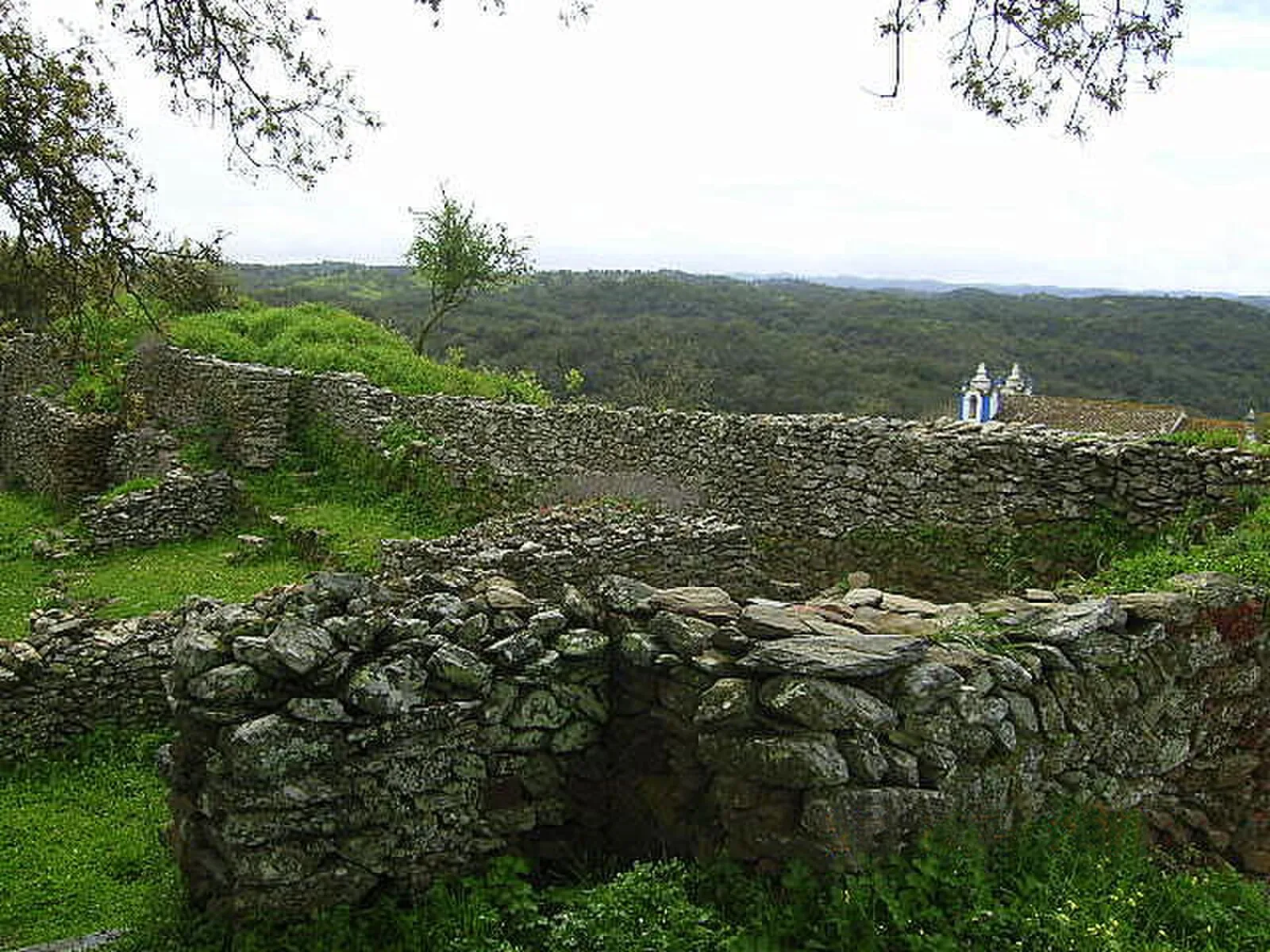
Also known as: Castelo da Cola, Castelo de Cola, Castillo de Cola, Castillode Cola, Castro da Cola, castro de Cola, Cidade de Marrachique, Cola Kalesi, Colako kastroa, Замок Кола
| Type | Castle/palace |
|---|---|
| Period | 1000 - 1500 AD |
| Country | Portugal |
| Coordinates | 37.5790° N, 8.3005° W |