
 Peru
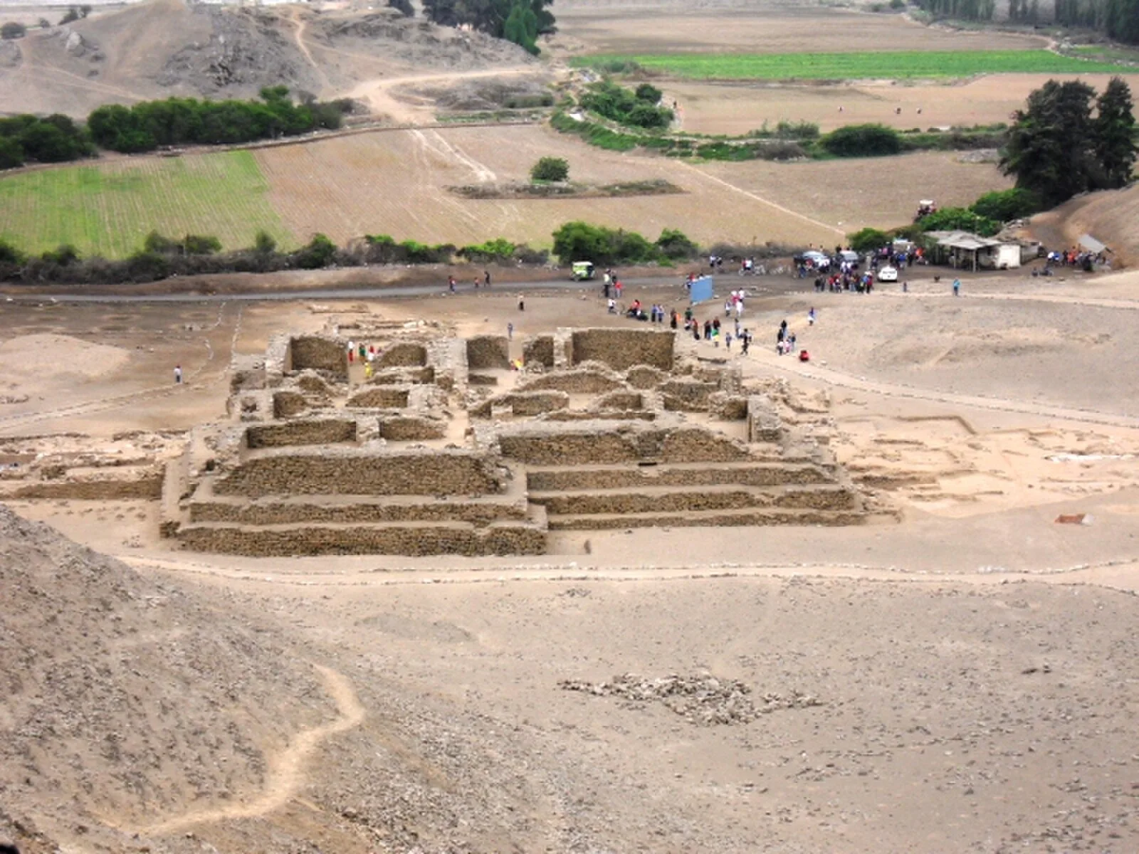
PeruApproximately two kilometers inland on the Rio Chillón flood plain, El Paraiso is surrounded by over 90 hectares of arable land and 150 hectares of lowlands capable of sustaining irrigation supported agriculture [1]. In 1965, Engle identified seven major structures and designated them Units I-VII [1]. The structure referred to as Unit I is located at the southern extremity of the site [1]. It is built of rough trimmed stones quarried from a nearby hill side, assembled with coarse fill and mortar, and then covered in plaster [1]. The unit consists of four tiered levels [1]. Unique engaged columns were found in two of the walls of one of the smaller rooms in the northwest quadrant of Unit II [1]. Analysis of faunal remains showed that fish was the primary source of protein with anchovy as the most common fish [1]. The diet of the inhabitants of El Paraíso consisted of a mix of domesticated and gathered resources [1].
Text: Wikipedia – 'El Paraíso, Peru' (revision of 2026-07-18), CC BY-SA 4.0 · sentences selected and shortened by an AI system · source →El Paraíso, Peru
Also known as: Chuquitanta, El Paraisas (Peru), El Paraiso, El Paraíso (Peru), El Paraíso (site archéologique), El Paraíso (stanowisko archeologiczne), Huaca El Paraiso, Храм вогню в Перу, 埃爾帕拉伊索 (祕魯)
| Type | City/town/settlement |
|---|---|
| Period | 3000 - 1500 BC |
| Country | Peru |
| Coordinates | 11.9537° S, 77.1183° W |