
 Pakistan
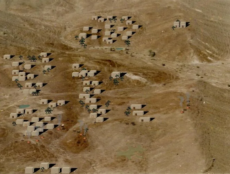
Sokhta Koh (also known as Sotka Koh; lit. "burnt hill") is a Harappan site on the Makran coast, near the city of Pasni, in the Balochistan province of Pakistan [1]. It was first surveyed by American archaeologist George F. Dales in 1960, while exploring estuaries along the Makran coast [1]. Sokhta Koh is an outcrop of low hillocks in the Shadi Kaur valley, surrounded by jagged, stratified hills north of Pasni [1]. While the hillocks are about two miles in circuit, the visible remnants of the settlement, which occupy the south-eastern portion, are less than a mile around [1]. Except for a few sporadic digs, the site has not been extensively excavated [1]. The site is strewn all over by hundreds of thousands of potsherds which constitute the visible detritus of the extinct settlement [1]. Scores of open pit ovens for firing the pottery can also be discerned [1].
Text: Wikipedia – 'Sokhta Koh' (revision of 2026-07-18), CC BY-SA 4.0 · sentences selected and shortened by an AI system · source →Sokhta Koh
Also known as: Sotka-koh, سوخته ڪوه, සොක්ටා කොහ්, ソトカー・コー
| Type | City/town/settlement |
|---|---|
| Period | 3000 - 1500 BC |
| Country | Pakistan |
| Coordinates | 25.3001° N, 63.4167° E |