
 North Macedonia
The Via Egnatia was constructed in order to link a chain of Roman colonies stretching from the Adriatic Sea to the Bosphorus [1]. The termini of the Via Egnatia and the Via Appia, leading from Rome itself, were almost directly opposite each other on the east and west shores of the Adriatic Sea [1]. The route, thus gave the colonies of the southern Balkans a direct connection to Rome [1]. The Via Egnatia is known as Calea Mare ("The Big Road") by the Aromanians in their native Aromanian language [1].
Text: Wikipedia – 'Via Egnatia' (revision of 2026-09-10), CC BY-SA 4.0 · sentences selected and shortened by an AI system · source →Via Egnatia
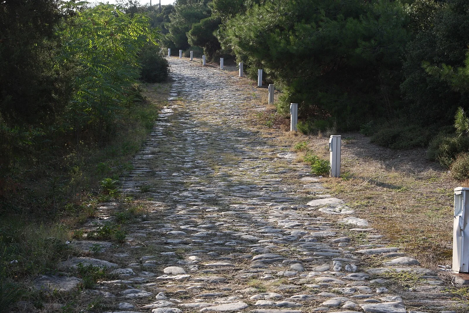
Also known as: 에그나티아 가도, Egnatia Yolu, Eqnati yolu, Via Candavia, Via Egnacia, Via Egnazia, Via Egnetia, Via Ignacia, Via Ignatia, Via Ignazia, Yoonu Eŋaca, Αρχαία Εγνατία Οδός
| Type | Road/avenue/trackway |
|---|---|
| Period | 500 BC - 1 AD |
| Country | North Macedonia |
| Coordinates | 41.0891° N, 21.0123° E |