
 Mexico
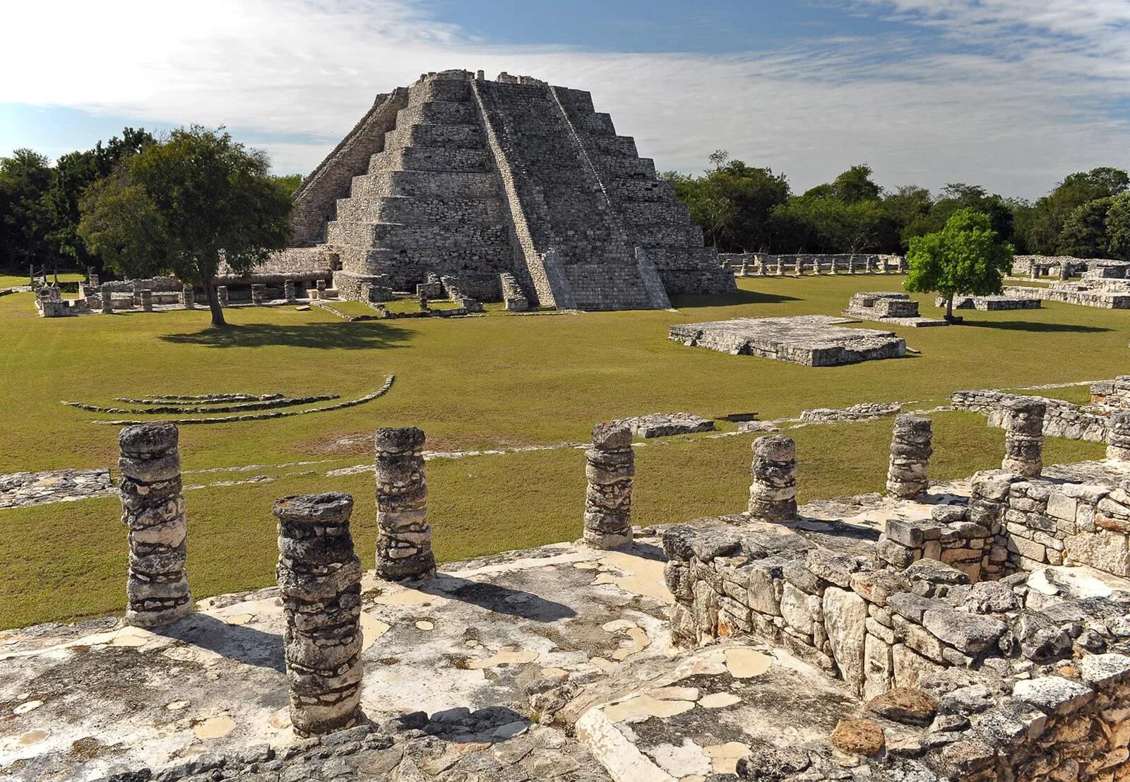
Mayapan is a Pre-Columbian Maya site a couple of kilometers south of the town of Telchaquillo in Tecoh Municipality, approximately 40 km south-east of Mérida and 100 km west of Chichen Itza; in the state of Yucatán, Mexico [1]. Estimates of the total city population are 15,000–17,000 people, and the site has more than 4,000 structures within the city walls, and additional dwellings outside [1]. The stone perimeter wall has twelve gates, including seven major gates with vaulted entrances [1]. The wall is 9.1 km (about 5.65 miles) long and is roughly ovate with a pointed northeast corner [1]. The ceremonial center of the site is located in Square Q of the city's grid in the center of the wider western half of the walled enclosure [1]. In 1841 John L. Stephens was the first to document parts of the Mayapan site with two important illustrations [1]. Mayapan was a major capital in the Yucatán, and there is extensive evidence that it had far-reaching trade routes, as seen in architecture and artifacts of other settlements in the region [1]. The site of Mayapan was abandoned sometime in the 15th century [1].
Text: Wikipedia – 'Mayapan' (revision of 2026-08-29), CC BY-SA 4.0 · sentences selected and shortened by an AI system · source →Mayapan
Also known as: 마야판, Majapanas, Майяпан, Мајапан, Маяпан, მაიაპანი, מאיאפאן, مايابان, مایاپان, マヤパン, 玛雅潘
| Type | City/town/settlement |
|---|---|
| Period | 1000 - 1500 AD |
| Country | Mexico |
| Coordinates | 20.6296° N, 89.4606° W |