
 Greece
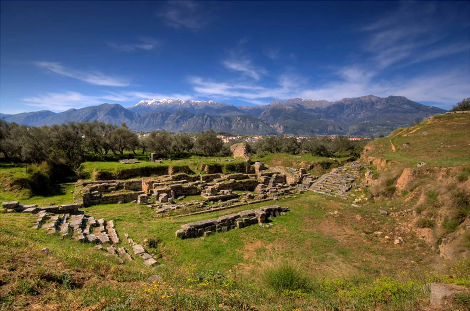
Ancient Sparta was built on the banks of the Eurotas, the largest river of Laconia, which provided it with a source of fresh water [1]. The Eurotas valley was a natural fortress, bounded to the west by Mt. Taygetus and to the east by Mt. Parnon [1]. Though landlocked, Sparta had a vassal harbour, Gytheio, on the Laconian Gulf [1]. The earliest certain evidence of human settlement in the region of Sparta consists of pottery dating from the Middle Neolithic period, found in the vicinity of Kouphovouno some two kilometres south-southwest of Sparta [1]. At its peak around 500 BC, Sparta had some 20,000–35,000 citizens, plus numerous helots and perioikoi [1]. In 464 BC, a violent earthquake occurred along the Sparta faultline destroying much of what was Sparta and many other city-states in ancient Greece [1]. Sparta never fully recovered from its losses at Leuctra in 371 BC and the subsequent helot revolts [1].
Text: Wikipedia – 'Sparta' (revision of 2026-09-25), CC BY-SA 4.0 · sentences selected and shortened by an AI system · source →Ancient Sparta
Also known as: 스파르타, antica Sparta, Antična Šparta, Antiga Esparta, Esparta, Gadymy Sparta taryhy, Isparta, Lacedaemon, Lacedemon, Lacedemone, Lacedemònia, Lakedaimon
| Type | City |
|---|---|
| Period | 1500 - 500 BC |
| Country | Greece |
| Coordinates | 37.0824° N, 22.4250° E |