
 England
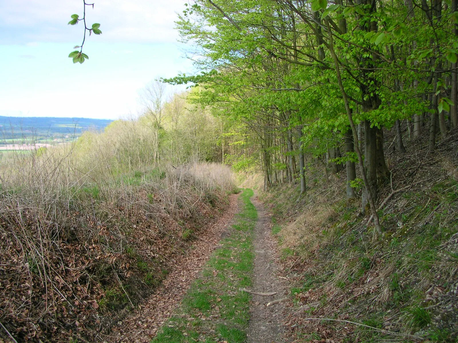
The Chichester to Silchester Way is a Roman Road between Chichester in South-East England, which as Noviomagus was capital of the Regni, and Silchester or Calleva Atrebatum, capital of the Atrebates [1]. The road had been entirely lost and forgotten, leaving no Saxon place names as clues to its existence, until its chance discovery through aerial photography in 1949 [1]. Only 6 kilometres of the 62 kilometres long road remain in use [1]. The existence of this road was unknown until 1949 when the archaeological division of the Ordnance Survey, while examining aerial photographs of the Milland area, noticed earthworks the size and shape of a Roman mansio [1]. The road must be later than the Winchester to Silchester road, which it joins [1]. The road was wider than average for Britain and well constructed, with a layer of flint or gravel on a cambered agger [1]. Ivan Margary gave the road the Margary number 155 in his identification system for Roman roads in Britain [1].
Text: Wikipedia – 'Chichester to Silchester Way' (revision of 2025-06-27), CC BY-SA 4.0 · sentences selected and shortened by an AI system · source →Chichester to Silchester Way
| Type | Road/avenue/trackway |
|---|---|
| Period | 1 - 500 AD |
| Country | England |
| Coordinates | 50.8401° N, 0.7789° W |