
 England
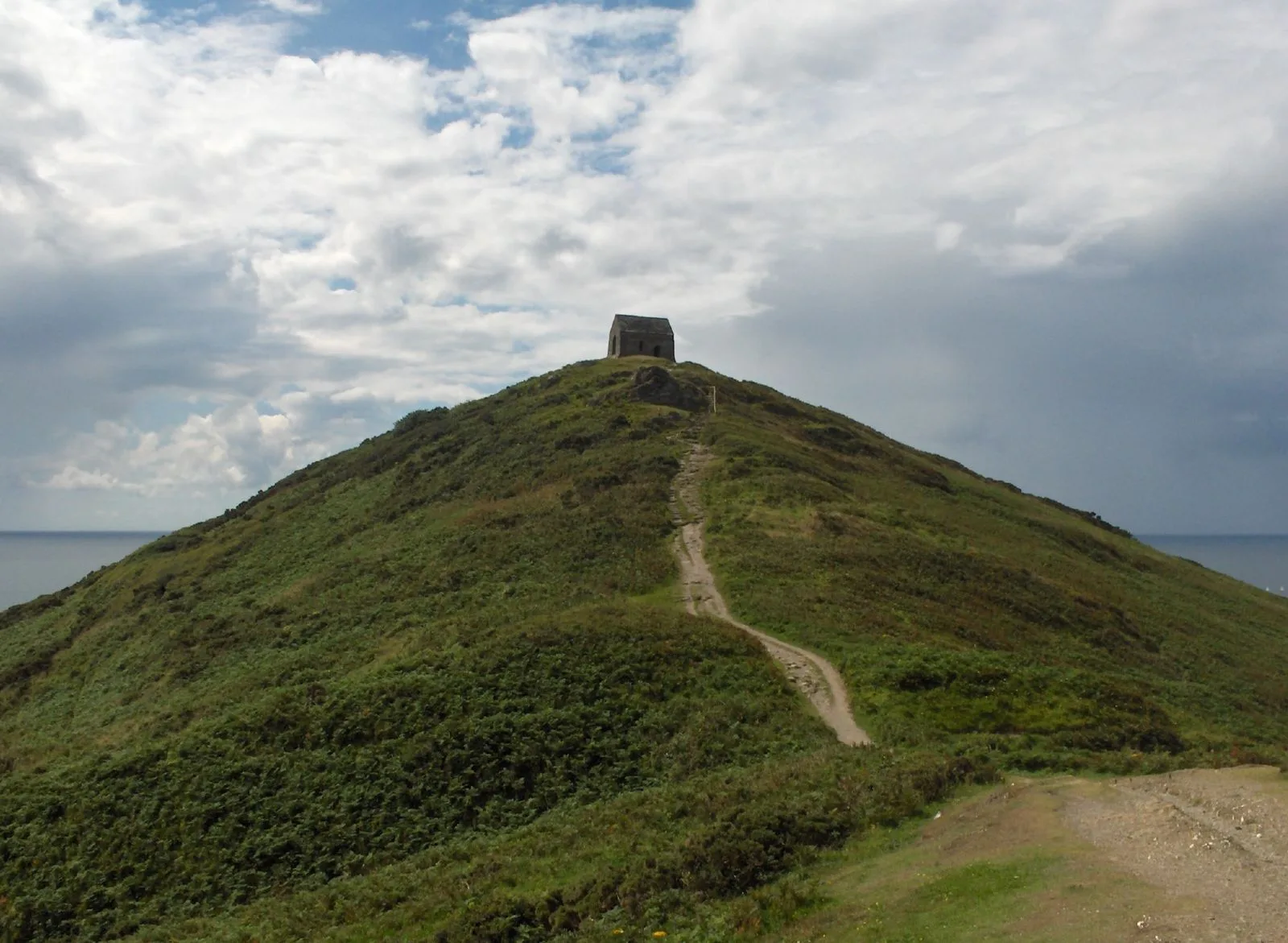
Rame Head or Ram Head is a coastal headland, southwest of the village of Rame in southeast Cornwall, England, United Kingdom [1]. It is part of the larger Rame Peninsula [1]. The natural site was used for a promontory fort in the Iron Age and the narrow neck of land was further excavated on the landward side with a central causeway, still visible [1]. The eastern part retains traces of round house platforms, though damaged by wartime construction [1].
Text: Wikipedia – 'Rame Head' (revision of 2026-09-03), CC BY-SA 4.0 · sentences selected and shortened by an AI system · source →Rame Head
Also known as: Penn an Hordh, Rame Head (Cornwall), Rame Head (punta), Rame Head (udde), レイム・ヘッド, 雷姆角
| Type | Fort |
|---|---|
| Period | 1500 - 500 BC |
| Country | England |
| Coordinates | 50.3110° N, 4.2229° W |