
 England
Cadson Bury is an Iron Age hillfort about 2 miles (3.2 km) south-west of Callington, in Cornwall, England [1]. The fort is sited in a commanding position on a steep hill, called Cadson Bury Down, above the River Lynher [1]. It is univallate, probably of the early Iron Age [1]. The oval enclosure, longest from north to south, is about 275 metres long and 170 metres wide, enclosing an area of about 2.5 hectares [1]. The rampart is up to 2 metres above the interior; the outer ditch is about 1.3 metres deep on the east side, less visible elsewhere [1]. There are no traces of house platforms within the enclosure [1]. There are two opposed inturned entrances on the east and west sides; the eastern entrance is clearly defined, the western entrance less so [1].
Text: Wikipedia – 'Cadson Bury' (revision of 2026-07-18), CC BY-SA 4.0 · sentences selected and shortened by an AI system · source →Cadson Bury
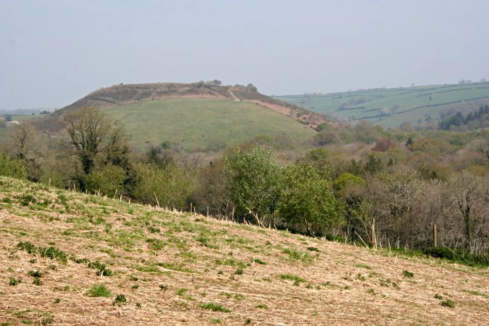
Also known as: Slight univallate hillfort called Cadson Bury
| Type | Fortress/citadel |
|---|---|
| Period | 1500 - 500 BC |
| Country | England |
| Coordinates | 50.4825° N, 4.3348° W |