
 England
Padderbury Top is a hillfort about 2 miles (3.2 km) south-east of Menheniot, in Cornwall, England, named after the hill on which it is situated [1]. It is a scheduled monument [1]. The enclosure is roughly circular [1]. The diameter of the interior, which has been ploughed, is about 80 yards (73 m) [1]. There is one surviving rampart, 2–3 feet (0.61–0.91 m) above the interior, and 10 feet (3.0 m) externally [1]. There are entrances on the west and east sides [1]. The rampart is surrounded by a belt of flat ground about 60 feet (18 m) wide and about 3 feet (0.91 m) high: aerial photographs show that this area was originally outer defences, since reduced by ploughing [1].
Text: Wikipedia – 'Padderbury Top' (revision of 2026-07-18), CC BY-SA 4.0 · sentences selected and shortened by an AI system · source →Padderbury Top
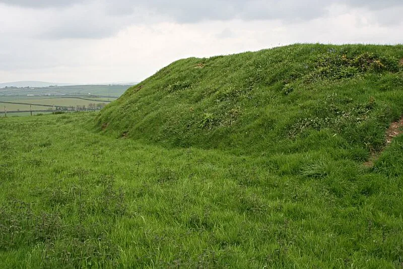
Also known as: Iron Age defended settlement at Padderbury Top
| Type | Fortress/citadel |
|---|---|
| Period | 1500 - 500 BC |
| Country | England |
| Coordinates | 50.4250° N, 4.3750° W |