
 England
Pawton Quoit is a prehistoric portal dolmen, which dates to the Early and Middle Neolithic period in England (3500–2600 BC) [1]. Pawton Quoit is a Neolithic burial tomb located about 4.66 km south from St Breock in a field near Haycrock Farm in Cornwall [1]. It sits on a north-facing ridge [1]. The burial monument consists of a long burial mound, measuring 28 by 22 m, and oriented north-south [1]. The barrow was probably originally round, with a lengthening of one axis due to the downhill slope to the north [1]. It has a damaged burial chamber at the south end of the mound [1]. Large stones enclose the rectangular chamber, measuring 2.3 by 1.1 m [1]. Pawton Quoit was first mentioned in historical records when it was recorded as the "Druid's Altar" on the Ordnance Survey map in 1813 [1].
Text: Wikipedia – 'Pawton Quoit' (revision of 2026-07-18), CC BY-SA 4.0 · sentences selected and shortened by an AI system · source →Pawton Quoit
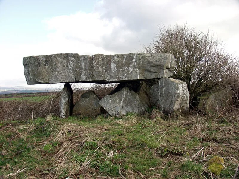
| Type | Dolmen |
|---|---|
| Period | 4500 - 3000 BC |
| Country | England |
| Coordinates | 50.4914° N, 4.8697° W |