
 England
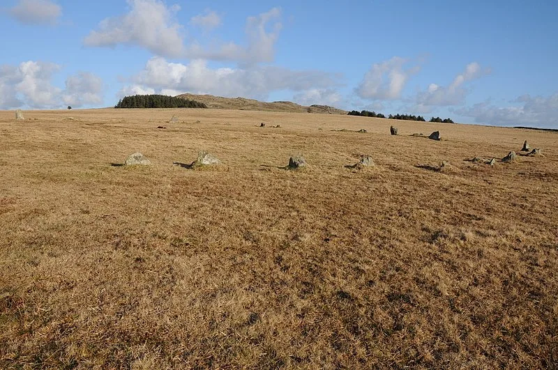
Fernacre, also known as Fernacre stone circle or Fernacre circle, is a stone circle located on the slopes of the De Lank River, 1.25 miles northeast of St Breward on Bodmin Moor in Cornwall in the United Kingdom [1]. Fernacre is one of the biggest stone circles in Cornwall [1]. Fernacre is a marker for the start of a medieval drove road from Rough Tor to Garrow [1]. Fernacre carries a pivotal location between Rough Tor located due north and Brown Willy located due east [1].
Text: Wikipedia – 'Fernacre' (revision of 2026-07-18), CC BY-SA 4.0 · sentences selected and shortened by an AI system · source →Fernacre
| Type | Stone circle |
|---|---|
| Period | 4500 - 3000 BC |
| Country | England |
| Coordinates | 50.5901° N, 4.6223° W |