
 England
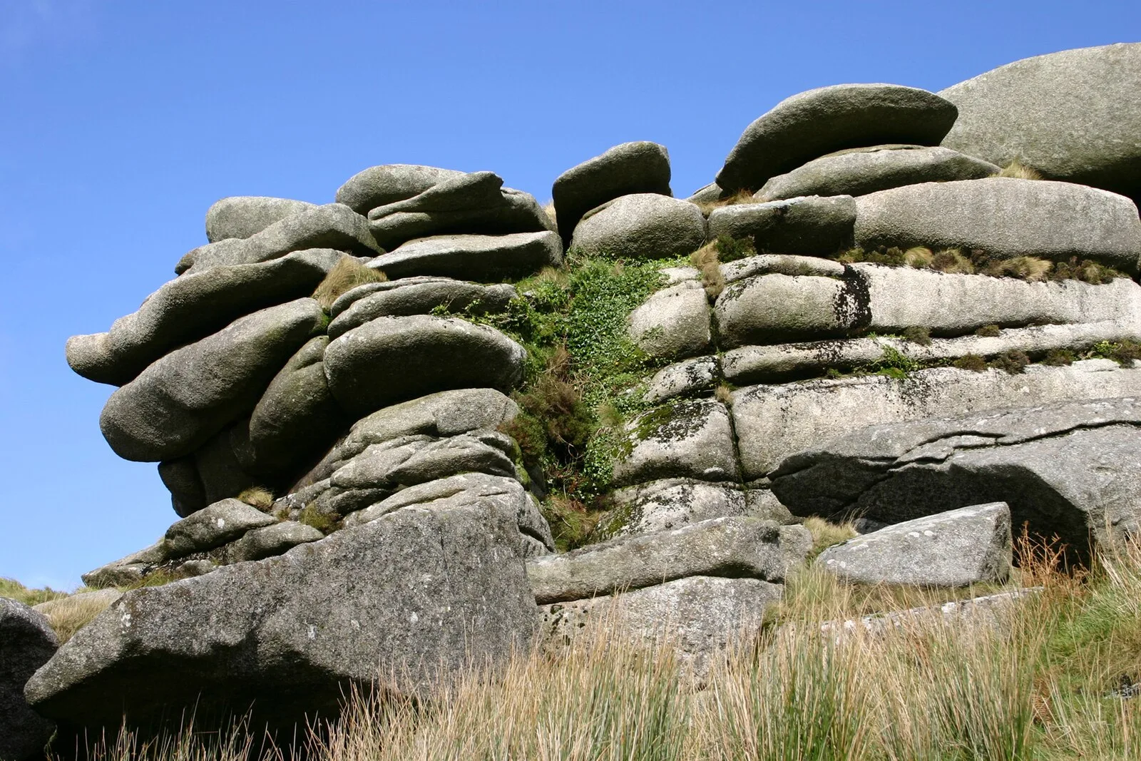
Rough Tor, or Roughtor (Cornish: Torr Garow), is a tor on Bodmin Moor, Cornwall, England, United Kingdom [1]. The site comprises the tor summit and logan stone, a Neolithic tor enclosure, many Bronze Age hut circles, and some contemporary monuments [1]. The summit of Rough Tor once had a Neolithic tor enclosure [1]. The summit is encircled by rough stone walls that align with natural stone outcroppings on the tor [1]. The walls would have originally completely encircled the tor and would have had numerous stone lined openings [1]. The Rough Tor enclosure is located in an area containing numerous upstanding monuments and other Bronze Age sites, such as Fernacre stone circle, which is only 200 metres from the site [1]. On the southern slopes of Rough Tor, there are the remains of numerous stone hut circles, set around three or four enclosures that may have held stock [1].
Text: Wikipedia – 'Rough Tor' (revision of 2026-09-03), CC BY-SA 4.0 · sentences selected and shortened by an AI system · source →Rough Tor
Also known as: Torr Garow, Рау-Тор, Роу Тор
| Type | Settlement |
|---|---|
| Period | 4500 - 3000 BC |
| Country | England |
| Coordinates | 50.5963° N, 4.6237° W |