
 England
Castle Dore — or Castle Dôr — is an Iron Age hill fort near Golant in Cornwall [1]. It was probably occupied from the 5th or 4th centuries BC until the 1st century BC [1]. The perimeter of Castle Dore consists of two ditches [1]. The inner ditch is circular, measuring 79 metres in diameter internally, and the outer ditch arced round it from the north to the south-east before widening in the north east to form an entrance [1]. Archaeologist Ralegh Radford led excavations at Castle Dore in 1936 and '37 [1]. At the time of Radford's work, archaeologists tended to concentrate on the defences in the course of examining hillforts; Radford, however, investigated the interior and found postholes belonging to huts of at least two distinct phases of occupation [1].
Text: Wikipedia – 'Castle Dore' (revision of 2026-01-27), CC BY-SA 4.0 · sentences selected and shortened by an AI system · source →Castle Dore
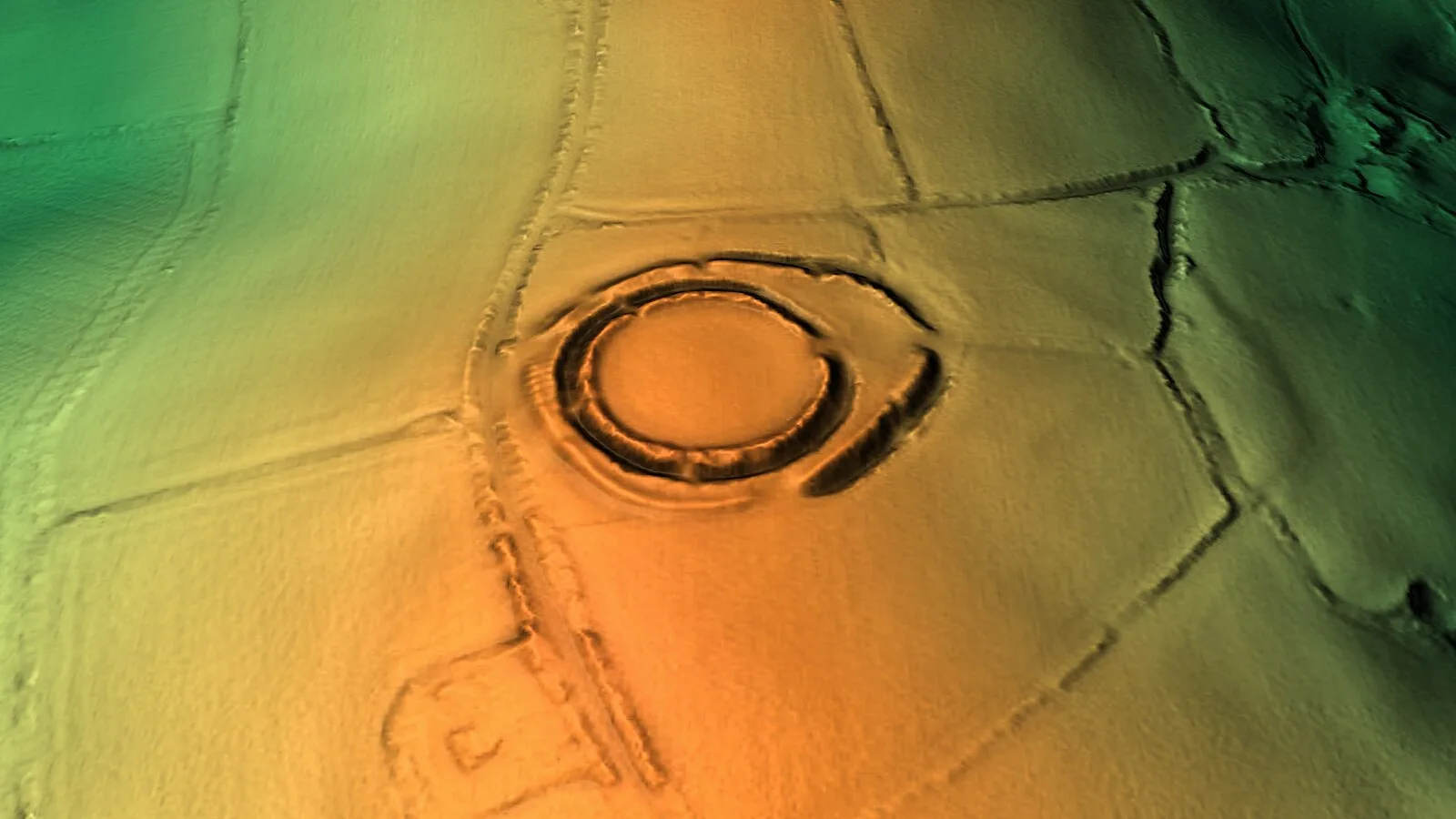
Also known as: Castelo Dore, Dore Kalesi, Ruddon, Small multivallate hillfort called Castle Dore
| Type | Fortress/citadel |
|---|---|
| Period | 500 BC - 1 AD |
| Country | England |
| Coordinates | 50.3625° N, 4.6686° W |