
 England
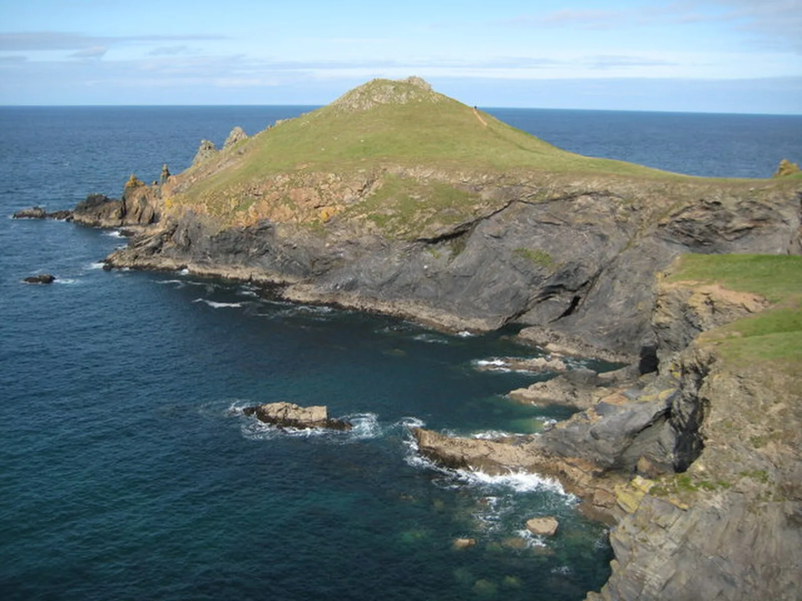
The Rumps is a twin-headland promontory at the north-east corner of Pentire Head in north Cornwall, England [1]. The promontory is formed from hard basaltic rock and projects north into the Atlantic Ocean [1]. The Rumps is the site of an Iron Age promontory fort which was first recorded in 1584 by John Norden and also appears on the first Ordnance Survey map in 1881 [1]. The fort was the subject of an archaeological survey between 1963 and 1967, with the findings being published in 1974 in Cornish Archaeology / Hendhyscans Kernow, 13, pp 5-50 [1]. It described three phases of building and two of occupation between the 4th century BC and the first century AD, with round houses containing pottery using clay from the Lizard, bones and domestic items having been excavated [1]. The find of an amphora also suggests trade with the Mediterranean [1]. Being connected to the mainland with only a very narrow isthmus, the site is an excellent defensive position [1]. The fort has three ramparts, built in two phases and with central entrances [1].
Text: Wikipedia – 'The Rumps' (revision of 2025-07-01), CC BY-SA 4.0 · sentences selected and shortened by an AI system · source →The Rumps
Also known as: Pentire Fort, Promontory fort called The Rumps, Rumps Point, The Rumps (fort), ランプ岬
| Type | Fortress/citadel |
|---|---|
| Period | 500 BC - 1 AD |
| Country | England |
| Coordinates | 50.5921° N, 4.9202° W |