
 England
Condolden (Cornish: Goondollven) is a hill in north Cornwall, England [1]. The summit is 308 metres above ordnance datum [1]. Condolden is two miles (3 km) southeast of Tintagel village and is on the eastern border of Tintagel civil parish between Waterpit Down and Penpethy [1]. It is the highest point in the parish [1]. The largest of the Bronze Age barrows in Tintagel is at Condolden (another is at Menadue) [1]. The barrow has not been excavated and is topped by an Ordnance Survey triangulation point (or "trig") [1].
Text: Wikipedia – 'Condolden' (revision of 2026-09-03), CC BY-SA 4.0 · sentences selected and shortened by an AI system · source →Condolden
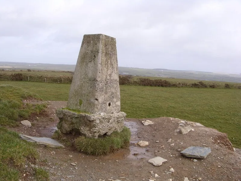
Also known as: Condolden Barrow
| Type | Barrow |
|---|---|
| Period | 4500 - 3000 BC |
| Country | England |
| Coordinates | 50.6523° N, 4.7033° W |