
 England
Dodman Point near Mevagissey is the highest headland on the south Cornwall coast, measuring 374 feet [1]. It is also known by its earlier names of the Deadman and Deadman's Point [1]. It hosts the remains of an Iron Age promontory fort, and at its seaward end is "Parson Martin's Cross" – a large granite cross erected in 1896 to encourage those involved in Christian service, and which aids navigation around the headland [1].
Text: Wikipedia – 'Dodman Point' (revision of 2026-09-03), CC BY-SA 4.0 · sentences selected and shortened by an AI system · source →Dodman Point
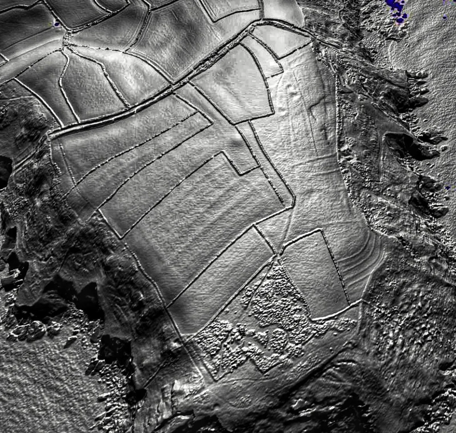
Also known as: Deadman's Point - The Deadman, Penn Ardh, ドッドマン岬, 多德曼角
| Type | Fort |
|---|---|
| Period | 1500 - 500 BC |
| Country | England |
| Coordinates | 50.2195° N, 4.8019° W |