
 England
Kennet Avenue or West Kennet Avenue is a prehistoric site in the English county of Wiltshire [1]. It was originally an avenue of two parallel lines of stones 25m wide and 2.5 km in length, which ran between the Neolithic sites of Avebury and The Sanctuary [1]. There are currently 27 upright stones and 37 concrete pillars marking original stone locations [1]. Excavations directed by Alexander Keiller and Stuart Piggott in 1934 and 1935 indicated that around 100 pairs of standing stones had lined the avenue, dated to around 2200 BC from finds of Beaker burials beneath some of them [1]. The avenue is within the Avebury section of the Stonehenge and Avebury World Heritage Site [1]. The West Kennet Avenue occupation site, discovered by Keiller in 1934 and re-excavated by Joshua Pollard and Mark Gillings in 2013–15, is the remains of Neolithic settlement activity [1]. The more recent excavations recovered 16,399 pieces of worked flint with dating ranging from the Mesolithic to the Early Bronze Age [1].
Text: Wikipedia – 'Kennet Avenue' (revision of 2026-07-24), CC BY-SA 4.0 · sentences selected and shortened by an AI system · source →Kennet Avenue
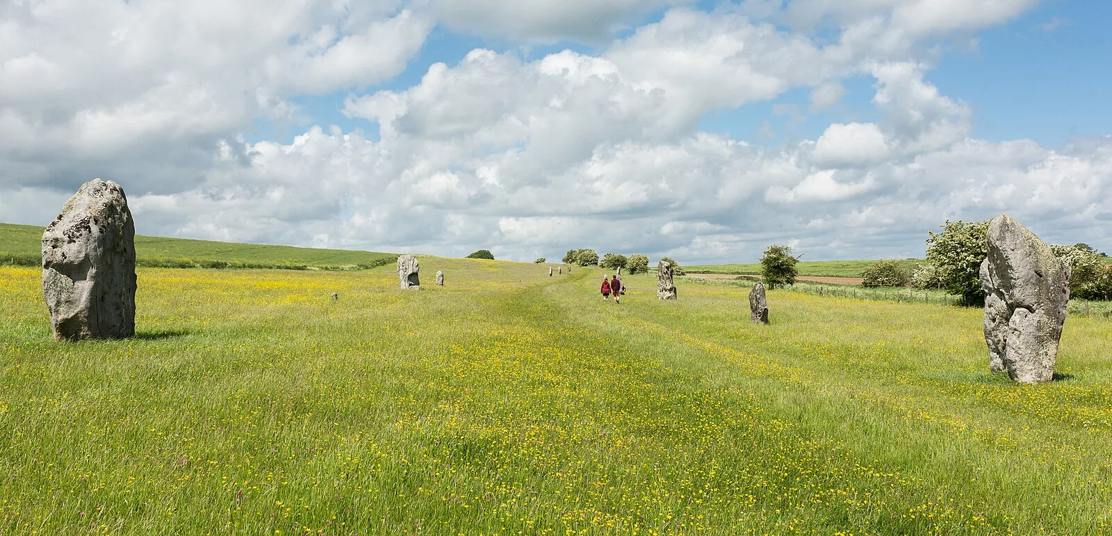
Also known as: Avenida de Kennet, Avenida Kennet, Avenida Kennet occidental, Avinguda Kennet, West Kennet Avenue, Кеннет-Авеню, Кеннетская авеню, Кеннетский пассаж, Уэст-Кеннетский пассаж, שדרת מערב קנט, ウェスト・ケネット・アヴェニュー, ケネット・アヴェニュー
| Type | Road/avenue/trackway |
|---|---|
| Period | 3000 - 1500 BC |
| Country | England |
| Coordinates | 51.4232° N, 1.8480° W |