
 England
Cleeve Toot is an Iron Age univallate hillfort above Goblin Combe, Cleeve, Somerset [1]. It is a Scheduled Ancient Monument [1]. It is a roughly oval settlement which is approximately 125 metres (410 ft) in length by 90 metres (300 ft) in breadth [1]. Approximately 150 metres (490 ft) to the north is another, smaller settlement [1]. Pits have been found at the site indicating the presence of round houses [1]. There is a single stone rampart with a broad shallow outer ditch [1]. There is also a prehistoric or Roman field system [1].
Text: Wikipedia – 'Cleeve Toot' (revision of 2026-05-31), CC BY-SA 4.0 · sentences selected and shortened by an AI system · source →Cleeve Toot
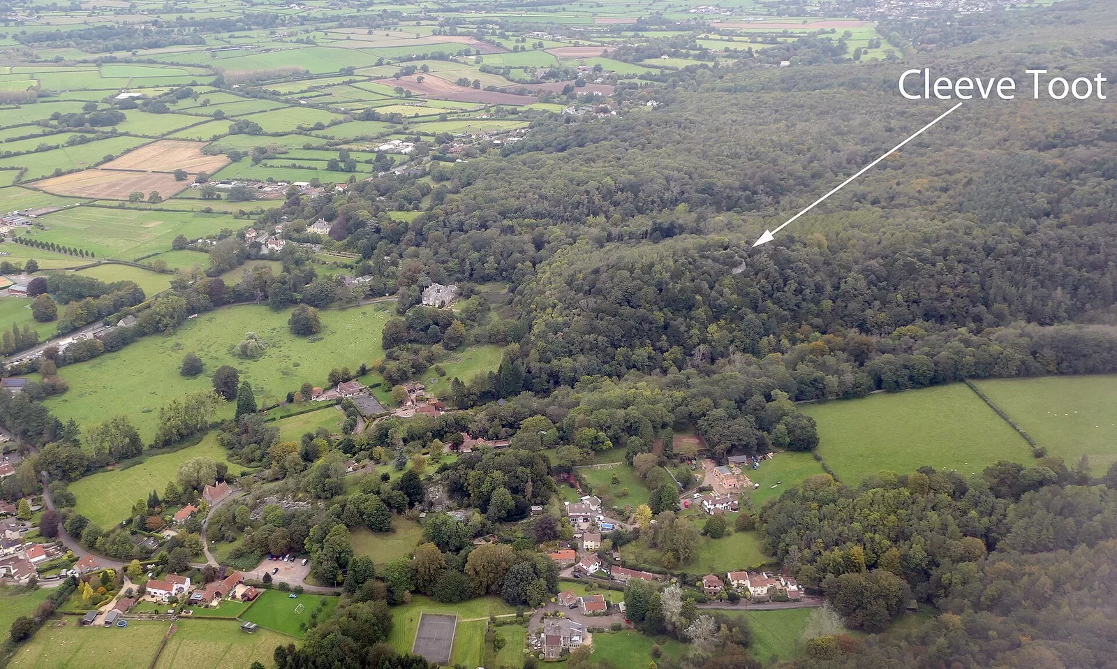
Also known as: Cleeve Toot Camp, Slight univallate hillfort 150m east of Cleeve Court
| Type | Fortress/citadel |
|---|---|
| Period | 1500 - 500 BC |
| Country | England |
| Coordinates | 51.3873° N, 2.7730° W |