
 England
Concangis was an auxiliary castra in the Roman province of Lower Britain (Britannia Inferior) [1]. Its ruins are located in Chester-le-Street, County Durham, in England, and are now known as Chester-le-Street Roman Fort [1]. It is situated 6 miles (10 km) north of the city of Durham and 8 miles (13 km) south of Newcastle upon Tyne [1]. Concangis is listed on both the 4th/5th-century Notitia Dignitatum and the 7th-century Ravenna Cosmography [1]. The fort is on a high bluff, overlooking the valleys of the Wear to the east and the Cong Burn to the north [1]. A construction inscription attests the Legio II Augusta as having built/rebuilt the fort, but as is usual this gives no evidence of who occupied it since Legionaries built only the fortifications and it was the Auxilia who garrisoned it [1]. An incomplete inscription mentions an Alae Antoninae (Antonine Wing), possibly on routine patrols and on restoration work on an aqueduct and latrines [1].
Text: Wikipedia – 'Concangis' (revision of 2026-09-01), CC BY-SA 4.0 · sentences selected and shortened by an AI system · source →Concangis
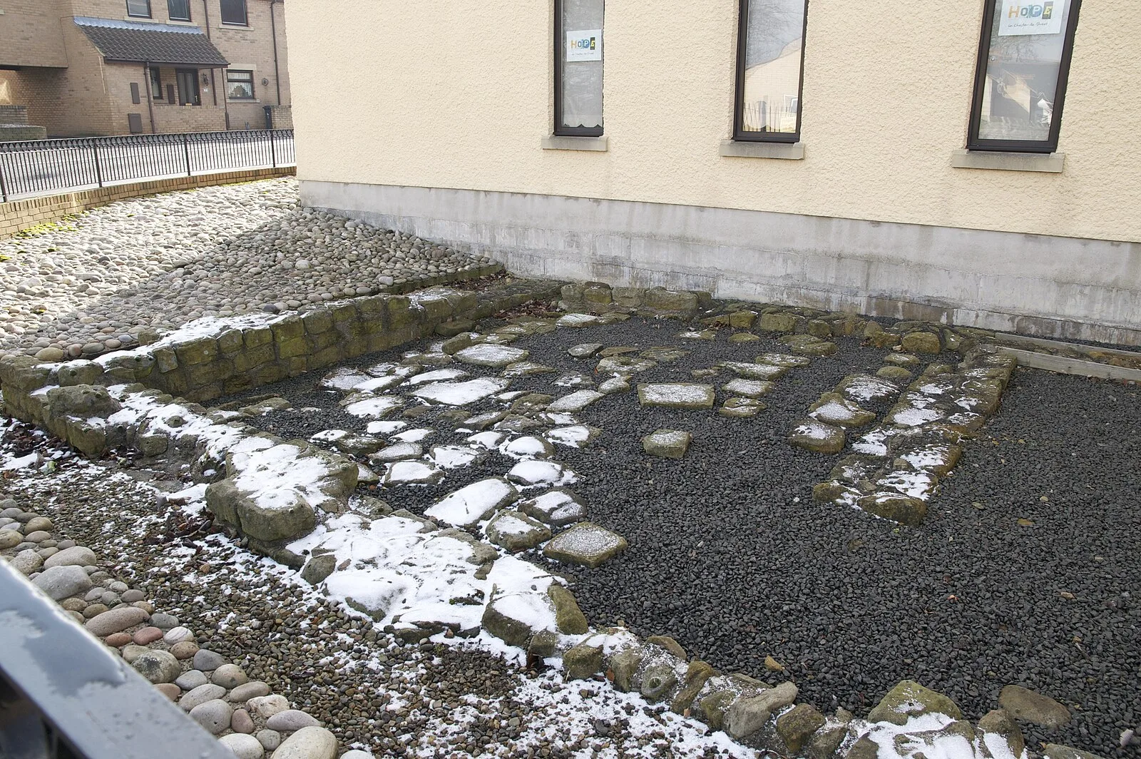
Also known as: Concangium, Concangium Roman fort
| Type | Fortress/citadel |
|---|---|
| Period | 1 - 500 AD |
| Country | England |
| Coordinates | 54.8566° N, 1.5723° W |