
 England
Chiselbury is the site of an Iron Age univallate hillfort in Wiltshire, England [1]. The hillfort is sub-circular in plan, and encloses an area of approximately 10.5 acres [1]. It is defined by an earthen rampart up to 3.6 metres in height and an external ditch, up to a maximum of 1.6 metres in depth [1]. Limited archaeological investigation of the interior of the hillfort in the early 20th century failed to find any direct traces of occupation [1]. However, outside of the fort some Iron Age pottery and a lead spindle whorl were found [1]. The hillfort is abutted on both its northern and southern sides by embanked ditches or cross dykes [1].
Text: Wikipedia – 'Chiselbury' (revision of 2026-07-18), CC BY-SA 4.0 · sentences selected and shortened by an AI system · source →Chiselbury
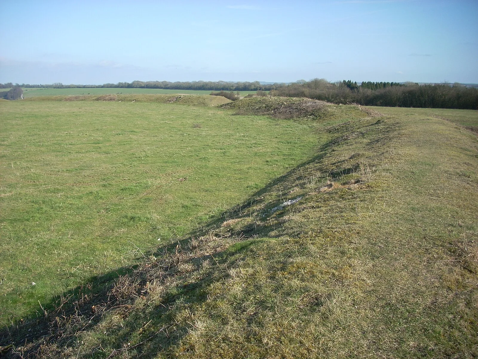
Also known as: Chiselbury Camp hillfort, cross dykes and site of turnpike toll house
| Type | Fortress/citadel |
|---|---|
| Period | 1500 - 500 BC |
| Country | England |
| Coordinates | 51.0523° N, 1.9757° W |