
 England
Castle Ditches is the site of an Iron Age trivallate hillfort in the south-east of Tisbury parish in Wiltshire [1]. It is probable that its ancient name was Spelsbury; it was referred to as Willburge in Tisbury's charter of 984 A.D. Its shape is roughly triangular, and follows the contours of the small hill upon which it sits [1]. The earthworks comprise a triple row of ramparts and ditches, now covered on three sides by woodland [1]. There is a large entrance towards the south-east, where there is the shallowest incline of the hill; but there is also a narrow slit on the opposite side [1]. The area within the site encompasses nearly 24 acres (9.7 ha), and the greatest height of the ramparts is about 40 feet (12 m) [1]. The hill has a summit of 193m AOD and overlooks the valley of the River Nadder to the north [1].
Text: Wikipedia – 'Castle Ditches' (revision of 2026-07-18), CC BY-SA 4.0 · sentences selected and shortened by an AI system · source →Castle Ditches
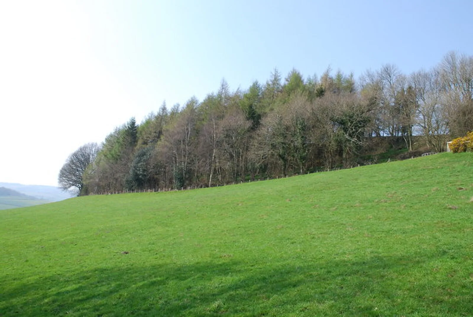
Also known as: Castle Ditches (bryngaer), Castle Ditches camp, Castle Ditches, Tisbury, Spelsbury, Wilburge
| Type | Fortress/citadel |
|---|---|
| Period | 1500 - 500 BC |
| Country | England |
| Coordinates | 51.0542° N, 2.0542° W |