
 Cyprus
Khirokitia (sometimes spelled Choirokoitia; Greek: Χοιροκοιτία [çiɾociˈti.a], suggested meaning Pig-cradle, from χοίρος 'pig, boar' + κοιτίς 'place of origin, cradle') is an archaeological site on the island of Cyprus dating from the Neolithic age [1]. The site is known as one of the most important and best preserved prehistoric sites of the eastern Mediterranean [1]. Much of its importance lies in the evidence of an organised functional society in the form of a collective settlement [1]. The site was discovered in 1934 by Porphyrios Dikaios [1]. The settlement of Khirokitia was situated on the slope of a hill in the valley of the Maroni River, towards the southern coast of the island about 6 km from the sea [1]. Subsistence methods practiced by its Neolithic inhabitants included farming crops like wheat, barley, lentils, peas, horse bean, and vetch, foraging olives, flax, figs, pistachios, plums, and pears, herding sheep, goats, and pigs [1].
Text: Wikipedia – 'Khirokitia' (revision of 2026-07-22), CC BY-SA 4.0 · sentences selected and shortened by an AI system · source →Khirokitia
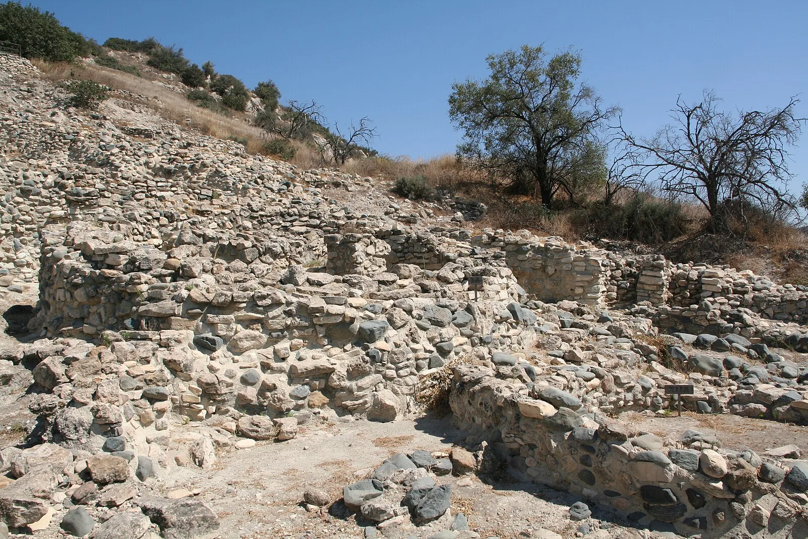
Also known as: 히로키티아, Chirokitia, Chirokitia (stanowisko archeologiczne), Chirokitija, Choirokoitia, Choirokoitía (arkiyolohiyang dapit), Choirokoitia Neolithic Site, Hirokitia, Hirokitija, Hirokitya, Xirokitiya, Χοιροκοιτία
| Type | City/town/settlement |
|---|---|
| Period | < 4500 BC |
| Country | Cyprus |
| Coordinates | 34.7969° N, 33.3438° E |