
 Bolivia
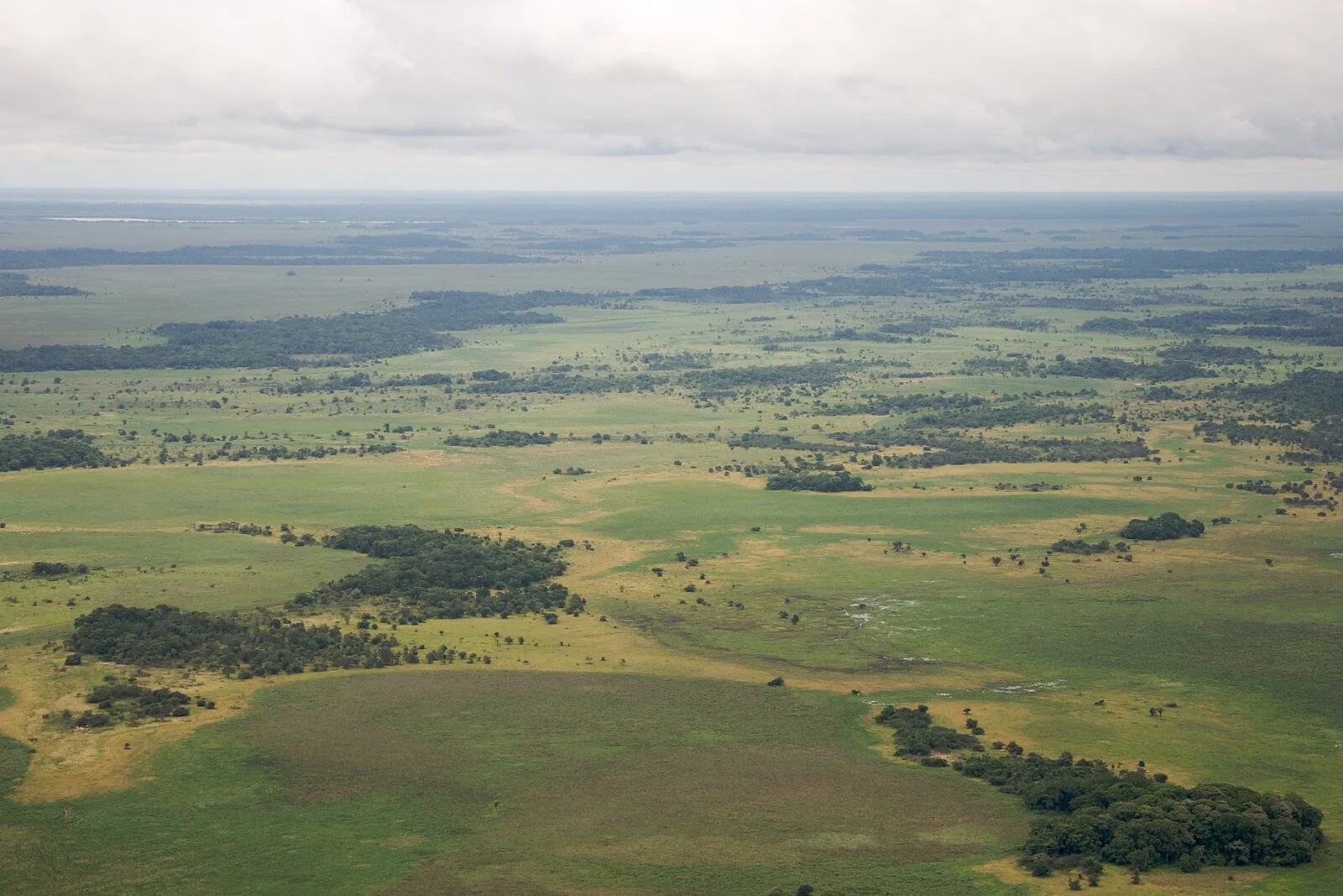
An extensive pre-Columbian archaeological landscape spanning much of Beni Department, Bolivia [1]. The remains include over 4,700 artificial forest islands, monumental mounds, raised agricultural fields, canals, causeways, ring ditches, and fish weirs [1] [2]. The Casarabe Culture (500-1400 CE) constructed a dense settlement network of over 189 earthen mounds interconnected by causeways across at least 4,500 km2 [1].
Llanos de Moxos (archaeology)
Also known as: Cultura hidráulica das lomas, Cultura Hidraulica de las Lomas, Llanos de Moxos, Moxos-Ebene, Moxos-Ebene (Archäologie), Водная культура холмов, Гидравлическая культура насыпей, Культура Льянос-де-Мохос, Льянос-де-Мохос (археологія), მიწაყრილების ჰიდრავლიკური კულტურა, יאנוס דה מוסוס, יאנוס דה מוסוס (תרבות ארכאולוגית)
| Type | Earthwork |
|---|---|
| Period | < 4500 BC |
| Country | Bolivia |
| Coordinates | 15.3461° S, 65.6634° W |