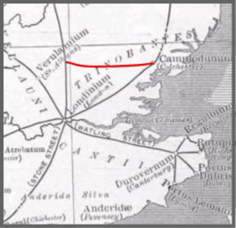
Stane Street, Colchester

Stane Street, Colchester
Fosse_Way.JPG: The original uploader was Neddyseagoon at English Wikipedia. derivative work: Mertbiol (talk) · Public domain

Stane Street is a 39-mile (63 km) Roman road that connected Ermine Street at Braughing, Hertfordshire to Camulodunum (Colchester), Essex[1].

TypeRoad/avenue/trackway
Period1 - 500 AD
CountryEngland
Coordinates51.8711° N, 0.3398° E

Related resources

More sites in England

Portingbury Hills · Leper Stone · Chelmsford · Bartlow Hills · South Weald Camp · Danbury, Essex · Fleam Dyke · Borough Hill, Sawston · Clare, Suffolk · Ambresbury Banks · Braughing - Roman Town · Wandlebury Hill Fort · Wandlebury Hill · Gog Magog Hills · Loughton Camp · Goffers Knoll · Foxholes, Hertford · Ebbsfleet Valley · The Warbanks · Belsar's Hill · Ashwell, Hertfordshire · Lullingstone Roman Villa · Arbury Banks, Hertfordshire · Six Hills

All sites in England

Was this page useful?

Keep exploring

Every site on this page sits on the globe, and the people who research them are on the Discord.

3D Globe · Sites by country · Story Archive · Research Library · Weekly Journal · Search