
 Wales
WalesHen Gaer is an Iron Age hillfort, on a hill adjacent to and east of Bow Street, Ceredigion [1]. Other names of the hillfort are Broncastellan and Caer Shon [1]. Hen Gaer ("Old Castle") is smaller than a typical tribal fortification [1]. It is strongly defended; the single rampart is about 12 metres wide and 3–4 metres above the interior, with a rock-cut external ditch [1]. On the north-east side, carefully laid stone blocks of the original rampart wall can be seen [1]. The main entrance is on the west side [1]. There is a circular mound outside the entrance: it is not an earlier barrow, but may be a defensive feature [1].
Text: Wikipedia – 'Hen Gaer' (revision of 2026-07-18), CC BY-SA 4.0 · sentences selected and shortened by an AI system · source →Hen Gaer
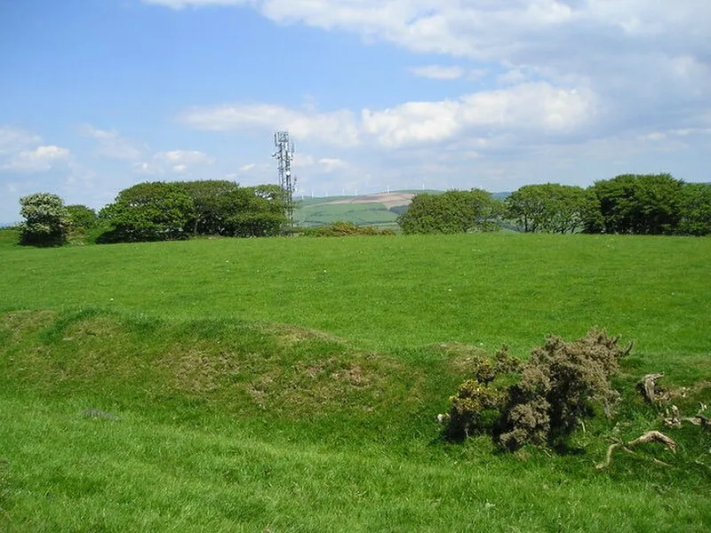
Also known as: Broncastellan, Caer Shon, Hen Gaer, Bow Street, Pen Gaer, Bow Street
| Type | Fortress/citadel |
|---|---|
| Period | 1500 - 500 BC |
| Country | Wales |
| Coordinates | 52.4404° N, 4.0128° W |