
 Switzerland
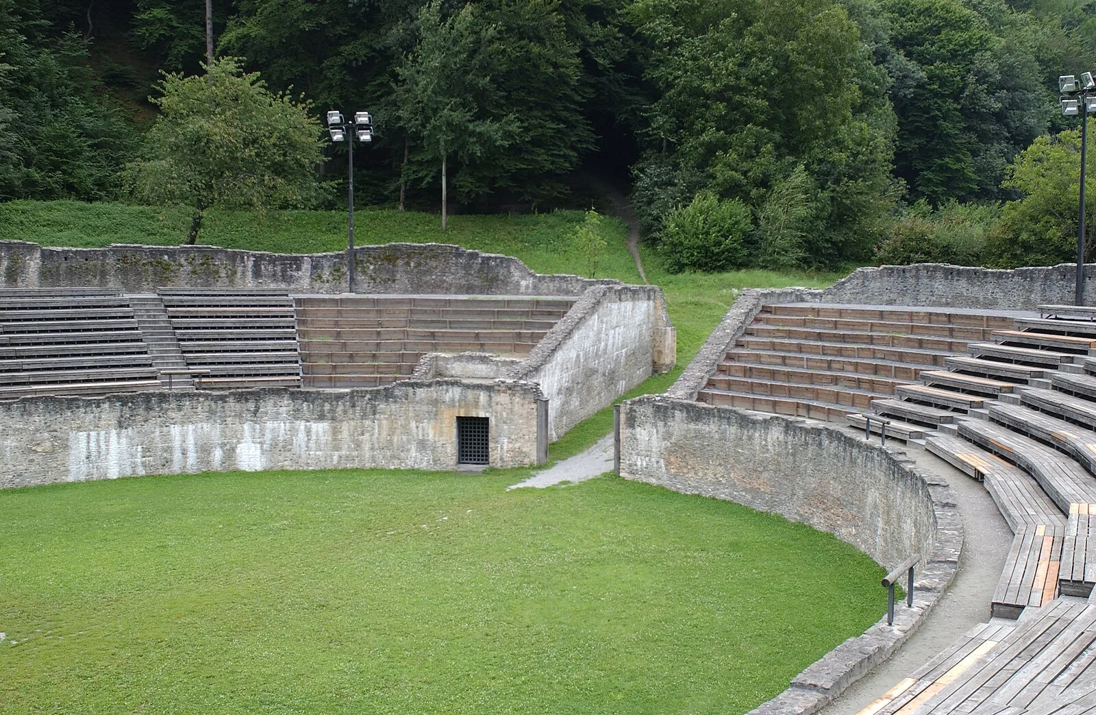
The Gaulish name of the settlement in the 1st century BC was either Octodurus or Octodurum (whence Martigny is sometimes also called Octodure in French), an oppidum or vicus of the Veragri [1]. Octodurus was conquered by the Roman Republic in 57 BC, and occupied by Servius Galba with the twelfth legion and some cavalry in order to protect the strategically important pass of Poeninus [1]. Galba gave one part of the town to the Gauls to winter in, and assigned the other to his troops [1]. He fortified himself with a ditch and rampart, and thought he was safe [1]. The Romans left many archaeological remains in Martigny [1]. The city is known for its amphitheater [1].
Text: Wikipedia – 'Martigny' (revision of 2026-09-13), CC BY-SA 4.0 · sentences selected and shortened by an AI system · source →Martigny
Also known as: 마르티니, 마르티니 (발레주), Forum Claudii Vallensium, La Bâtiaz VS, Martegne, Martigny-Bourg, Martigny (Soïssa), Martigny (Suïssa), Martigny, Switzerland, Martigny (Valais), Martigny (Vałexe), Martigny-Ville
| Type | City/town/settlement |
|---|---|
| Period | 500 BC - 1 AD |
| Country | Switzerland |
| Coordinates | 46.1002° N, 7.0667° E |