
 Peru
PeruAn Inca archaeological complex approximately 5 km west of Machu Picchu in the Cusco Region, Peru, first discovered by Hiram Bingham in 1912 [1] [2]. The site contains over 80 structures across a 4 by 2 km area, including a remarkable 145-foot corridor with 6-foot walls aligned at 65 degrees toward Machu Picchu, pointing to the sunrise during the June solstice [3]. The 2003 Thomson-Ziegler expedition extensively mapped the complex and concluded it served as an important rest stop and roadside shrine on the Inca trail, forming part of the ceremonial network supporting Machu Picchu [1] [3].
Llaqtapata
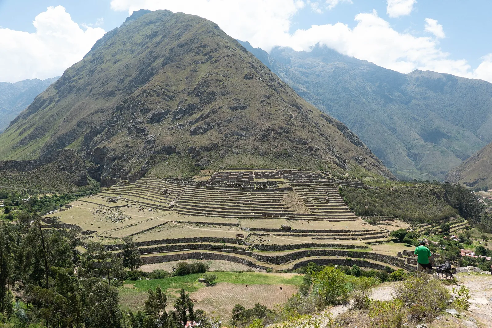
Also known as: Ljaktapata, Llactapata, Llacta Pata
| Type | Religious |
|---|---|
| Period | 1000 - 1500 AD |
| Country | Peru |
| Coordinates | 13.1855° S, 72.5847° W |