
 Peru
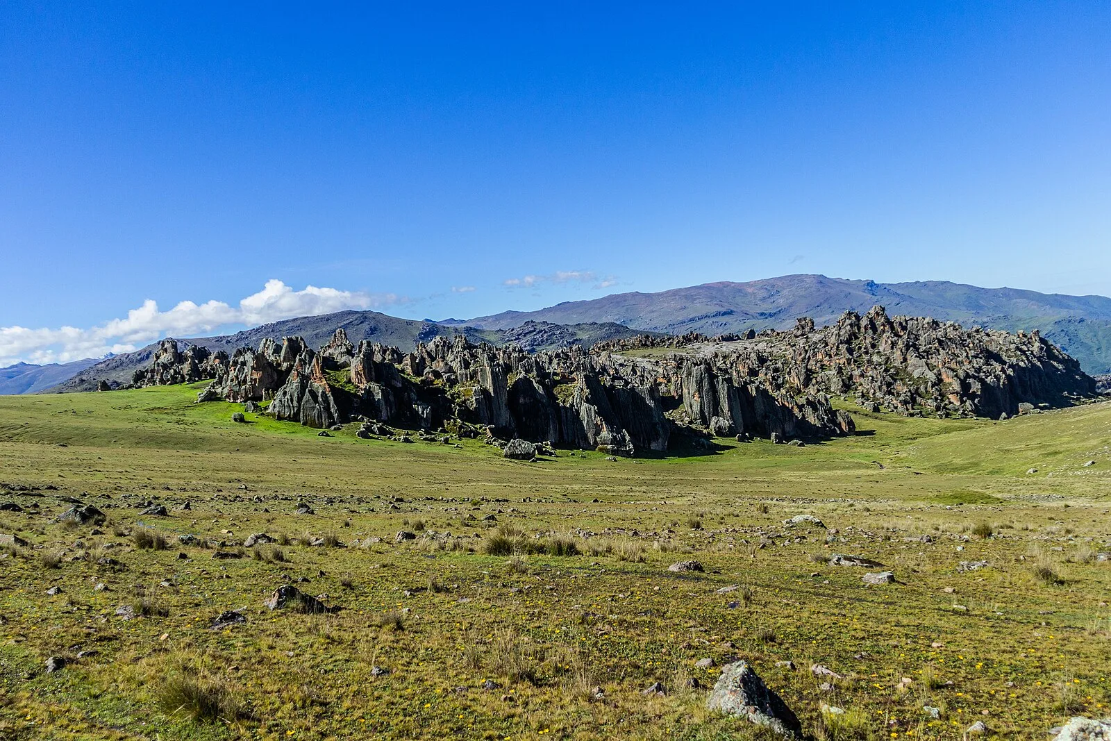
PeruHatun Machay (possibly from Quechua hatun big, mach'ay cave) is a rock forest with archaeological remains in Peru [1]. It was declared a National Cultural Heritage by Resolución Directoral No. 944/INC-2010 on May 7, 2010 [1]. Hatun Mach'ay is situated on the western side of the Cordillera Negra in the Ancash Region, Recuay Province, Pampas Chico District, at a height of about 4,200 metres [1].
Text: Wikipedia – 'Hatun Machay' (revision of 2026-07-21), CC BY-SA 4.0 · sentences selected and shortened by an AI system · source →Hatun Machay
Also known as: Hatun Mach'ay
| Type | Rock art |
|---|---|
| Period | < 4500 BC |
| Country | Peru |
| Coordinates | 10.0940° S, 77.3432° W |