
 Guatemala
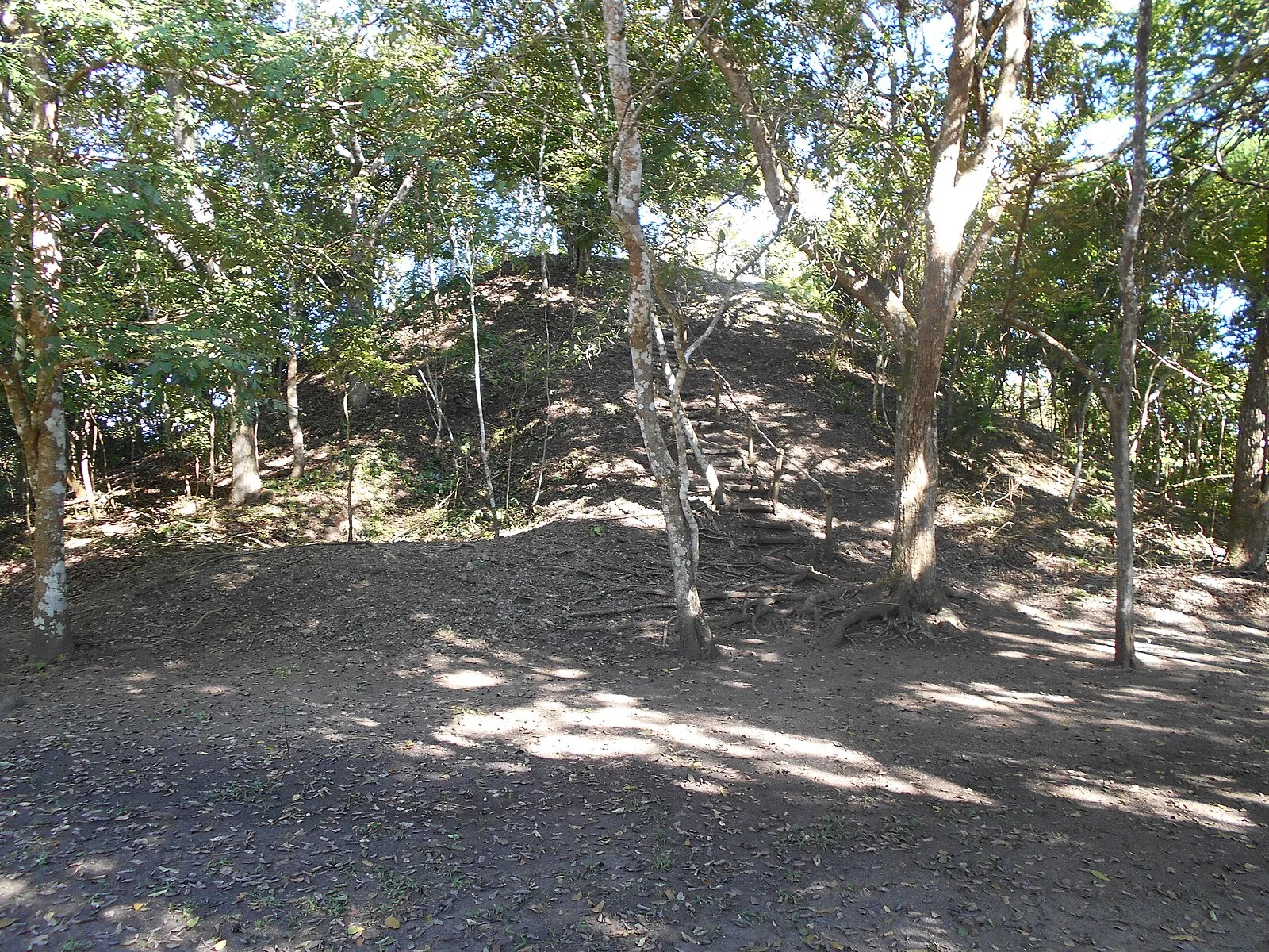
Tayasal is a Maya archaeological site located in present-day Guatemala [1]. It was a large Maya city with a long history of occupation [1]. The site was occupied from the Middle Preclassic period (c. 1000–350 BC) through to the Late Postclassic (c. 1200–1539 AD) [1]. The Tayasal archaeological site is situated on a peninsula on Lake Petén Itzá a short distance to the north of the modern town of Flores, separated from it by a 270-metre wide stretch of water, and falls within the municipality of Flores, in the department of Petén in northern Guatemala [1]. The site covers an area of approximately 2.75 square kilometres [1]. The University of Pennsylvania mapped the site in 1971 [1]. The University of Pennsylvania project mapped 339 structures; the city possessed large open plazas, palaces, pyramid-temples, an acropolis, defensive walls, residential buildings, and a cenote [1]. As many as fifty burials and twelve caches have been recovered from Tayasal [1].
Text: Wikipedia – 'Tayasal (archaeological site)' (revision of 2026-07-19), CC BY-SA 4.0 · sentences selected and shortened by an AI system · source →Tayasal
Also known as: Tayasal (archaeological site)
| Type | City |
|---|---|
| Period | 1500 - 500 BC |
| Country | Guatemala |
| Coordinates | 16.9406° N, 89.8923° W |