
 France
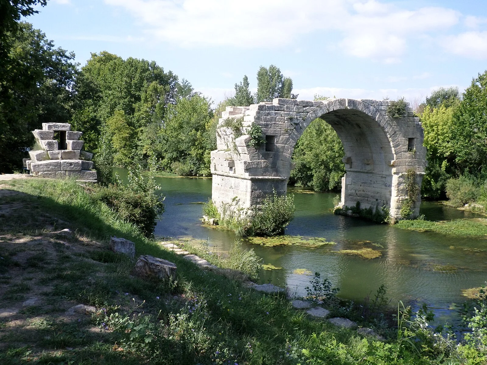
The Pont Ambroix or Pont d'Ambrussum was a 1st-century BC Roman bridge in the south of France that was part of the Via Domitia [1]. It crossed the Vidourle at Ambrussum between today's Gallargues-le-Montueux in the Gard department and Villetelle in the Hérault department [1]. Only one of the original eleven arches remains in the middle of the river [1]. The bridge was sketched by Anne Rulman in 1620 and the drawing shows only four arches [1]. The floods of 7 September 1933 reduced the bridge from two arches to the one we see today [1].
Text: Wikipedia – 'Pont Ambroix' (revision of 2024-07-03), CC BY-SA 4.0 · sentences selected and shortened by an AI system · source →Pont Ambroix
Also known as: Ambroix Köprüsü, Ambrussum Bridge, Brug van Ambroix, Money Bridge, pont d'Ambrussum, pont de la Monnaie, Ponte Ambroix, pont Saint Ambroix, Puente Ambroix, puente d'Ambrussum, puente de la Moneda, puente San Ambroix
| Type | Gate/archway/bridge |
|---|---|
| Period | 500 BC - 1 AD |
| Country | France |
| Coordinates | 43.7173° N, 4.1519° E |