
 France
The Barbegal aqueduct and mills was a Roman watermill complex in the commune of Fontvieille, Bouches-du-Rhône, near the town of Arles [1]. The Barbegal site is located 12 kilometres east northeast of Arles near Fontvieille, where the Arles aqueduct passed near a steep escarpment [1]. The mills consisted of 16 water wheels in two parallel sets of eight descending a steep hillside [1]. There are substantial masonry remains of the water channels and foundations of the individual mills, together with a staircase rising up the hill upon which the mills were built [1]. The mills operated from the beginning of the 2nd century until about the end of the 3rd century [1]. The capacity of the mills has been estimated at 4.5 tonnes of flour per day, with some estimates stating up to 25 tonnes of capacity, enough to supply bread for as many as 10,000 or perhaps even 30,000–40,000 inhabitants of Arelate at that time [1]. It is thought that the wheels were overshot water wheels with the outflows driving successive wheels to the base of the hill [1].
Text: Wikipedia – 'Barbegal aqueduct and mills' (revision of 2026-07-18), CC BY-SA 4.0 · sentences selected and shortened by an AI system · source →Barbegal Aqueduct and Mills
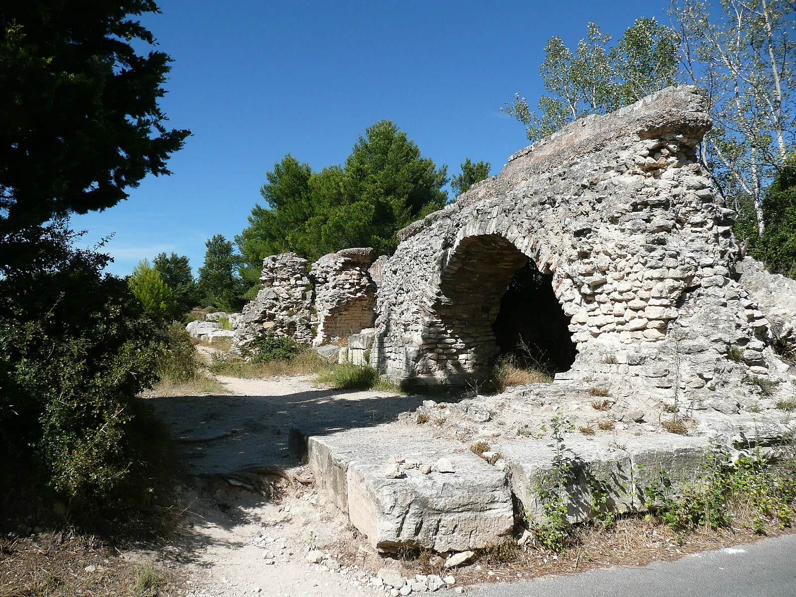
Also known as: Acquedotto e mulini di Barbegal, Acueducto y molinos de Barbegal, Akvadukt a mlýny v Barbegal, Aquaduct en molens van Barbegal, aqueduc et moulins de Barbegal, Aqueduto e moinhos de Barbegal, טחנת ברבגל, バルブガル水道と水車群跡
| Type | Reservoir/aqueduct/canal |
|---|---|
| Period | 1 - 500 AD |
| Country | France |
| Coordinates | 43.7027° N, 4.7214° E |