
 England
Woodbury Hill is a hill near Bere Regis in Dorset, England [1]. It is the site of an Iron Age hillfort, and the location of an annual fair from medieval times until the mid 20th century [1]. The hill overlooks the Winterbourne Valley to the north and the Piddle Valley to the south; immediately to the west is Bere Stream [1]. The irregularly-shaped hillfort has an area of about 5 hectares (12 acres) [1]. It is about 272 metres (892 ft) west to east and 410 metres (1,350 ft) north to south, and is enclosed by a single rampart of width 6 to 12 metres (20 to 39 ft); outside this is a ditch of width 9 metres (30 ft) and a counterscarp [1]. The ground outside the defences falls steeply to the east, south and south-west [1]. To the north, where there is a gently sloping strip of land leading to a northern ridge, a second rampart about 60 metres (200 ft) north of the main rampart provides additional defence [1]. There is an original entrance on the south-west, through which a track leads into the fort, and an original entrance on the north-east; other breaks in the defences are more recent [1].
Text: Wikipedia – 'Woodbury Hill, Dorset' (revision of 2026-07-22), CC BY-SA 4.0 · sentences selected and shortened by an AI system · source →Woodbury Hill, Dorset
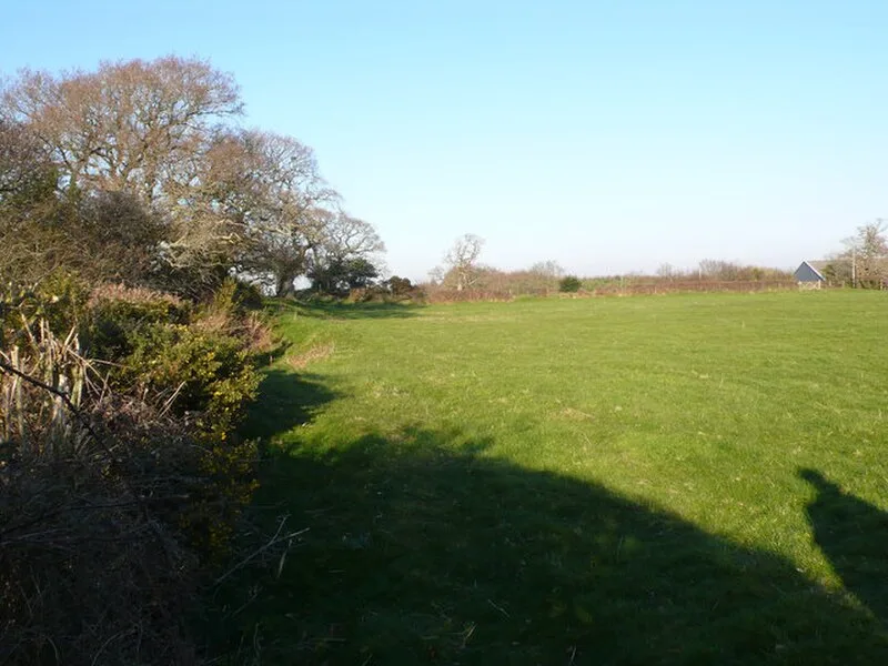
Also known as: Hillfort, ridge and furrow, holy well and medieval chapel on Woodbury Hill, Woodbury Hill, Woodbury Hill Camp
| Type | Fortress/citadel |
|---|---|
| Period | 1500 - 500 BC |
| Country | England |
| Coordinates | 50.7526° N, 2.2047° W |