
 England
Woolsbarrow Hillfort is a hillfort on Bloxworth Heath in the county of Dorset [1]. It dates to the period from the Late Bronze Age to the Early Iron Age (8th–5th centuries BC) and is classed as an ancient monument [1]. Woolsbarrow is a slight univallate hillfort on a flat-topped knoll on the plateau of Bloxworth Heath, which separates the rivers Sherford to the east and Piddle to the west [1]. The hillfort is marked by a single rampart about 20 feet below the top of the gravel knoll and covers an area of around 2+1⁄4 acres [1]. The eastern part of the hillfort has been damaged by sand and gravel extraction, but much of it survives well and has the potential for further archaeological evidence to be uncovered [1]. It is one of only about 150 slight univallate hillforts nationally and is of national importance [1].
Text: Wikipedia – 'Woolsbarrow Hillfort' (revision of 2026-07-20), CC BY-SA 4.0 · sentences selected and shortened by an AI system · source →Woolsbarrow Hillfort
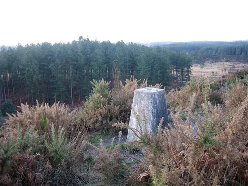
Also known as: Woolsbarrow, Woolsbarrow, a hillfort on Bloxworth Heath
| Type | Fortress/citadel |
|---|---|
| Period | 1500 - 500 BC |
| Country | England |
| Coordinates | 50.7315° N, 2.1531° W |