
 England
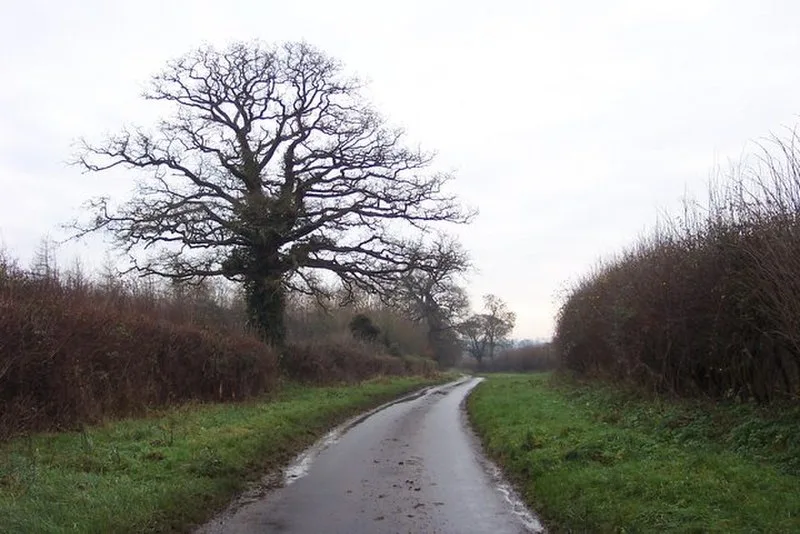
The Welsh Way was a British Iron Age trade route and track-way that originally carried trade between South Wales and the Oxford area of England across the Cotswold Hills [1]. There is evidence it was utilised and improved by the Roman army following the conquest of Britain as a link between Akeman Street and the Fosse Way [1]. It links the highest navigable point on the River Thames at Lechlade to the lowest crossing point of the River Severn at Gloucester [1]. Originally it had a braided nature with one route through Quenington and another through Fairford [1]. The Welsh Way exists today as a named lane which leaves the Gloucester-Cirencester road before Duntisbourne and passes through Barnsley and Ready Token to Fairford and Lechlade [1].
Text: Wikipedia – 'Welsh Way' (revision of 2023-03-17), CC BY-SA 4.0 · sentences selected and shortened by an AI system · source →Welsh Way
| Type | Road/avenue/trackway |
|---|---|
| Period | 1500 - 500 BC |
| Country | England |
| Coordinates | 51.7572° N, 2.0271° W |