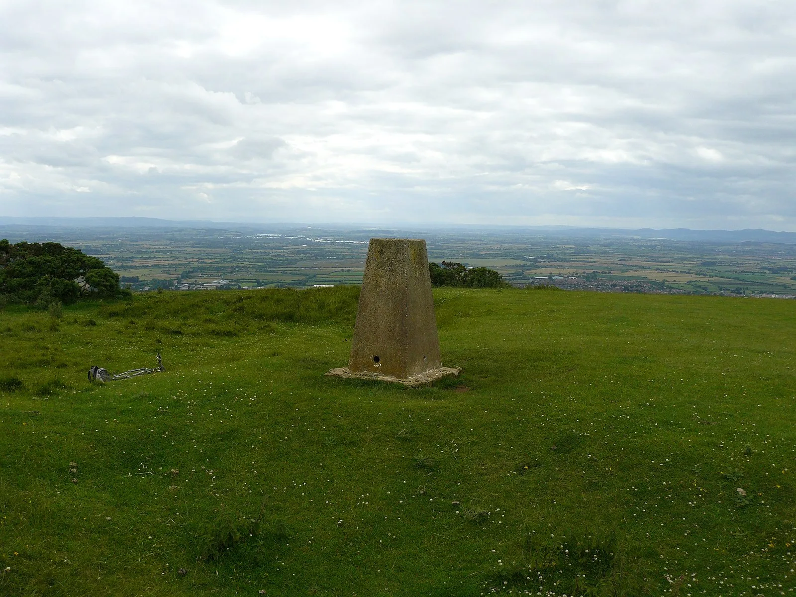
Cleeve Hill, Gloucestershire

Cleeve Hill, Gloucestershire
Dr John Wells · CC BY 4.0

Cleeve Hill, the highest point of the Cotswolds at 330 metres, hosts a small multivallate Iron Age hillfort dating from c. 500 BC, one of 35 hillforts along the Cotswold escarpment. Originally a single bank and ditch, a second ring was added two centuries later, with ramparts up to 9.1m wide and 2.5m high. A Bronze Age cross dyke predating the hillfort served as a territorial boundary that still marks modern parish lines. The Ring, a circular Romano-British enclosure of c. 50 metres diameter, was likely used for livestock. Human activity on Cleeve Common spans approximately 6,000 years.

TypeFortress/citadel
Period4500 - 3000 BC
CountryEngland
Coordinates51.9201° N, 2.0070° W

More sites in England

Belas Knap · Spoonley Wood Roman Villa · Chedworth Roman Villa · Hazleton Long Barrows · Notgrove Long Barrow · Bredon Hill · Welsh Way · Great Witcombe Roman Villa · Corinium Dobunnorum · Kimsbury Hill Fort · Icknield Street · Glevum · Windmill Tump · Longstone of Minchinhampton · Woodchester Roman Villa · Dorn, Gloucestershire · Ermin Way · Ringsbury Camp · Nympsfield Long Barrow · Hollybush Hill · Midsummer Hill · Pinnacle Hill · British Camp · Uley Long Barrow

All sites in England

Keep exploring

Every site on this page sits on the globe, and the people who research them are on the Discord.

3D Globe · Sites by country · Story Archive · Research Library · Weekly Journal · Search