
 England
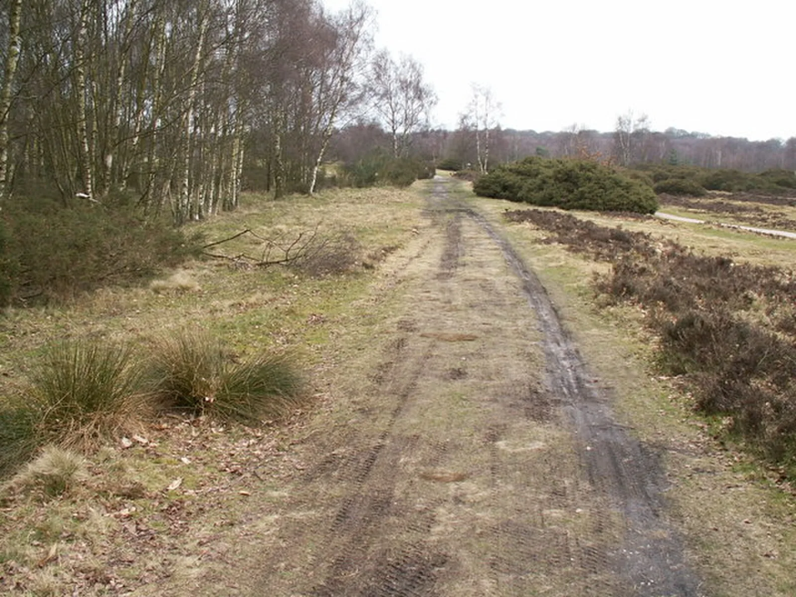
A Roman road in England running southwest to northeast from Bourton on the Water in Gloucestershire to Templeborough in South Yorkshire, passing through Birmingham, Lichfield, and Derby. Also called Ryknild Street, it was one of four roads granted royal protection in the Laws of Edward the Confessor, alongside Watling Street, Ermine Street, and the Fosse Way. The road connected major Roman forts including Metchley Fort (built c. AD 43), Letocetum at Wall (established 50 CE), and Templeborough. A preserved section remains visible at Sutton Park in Birmingham, and much of the route is followed by modern roads including the A38.
Icknield Street
Also known as: Ryknild Street, Икнилдская дорога, Ікнілдзкая дарога, イクニールド・ストリート, イクニールド街道, イックニールド・ストリート, イックニールド街道
| Type | Road/avenue/trackway |
|---|---|
| Period | 1 - 500 AD |
| Country | England |
| Coordinates | 51.8881° N, 1.7671° W |