
 England
Uley Bury is the long, flat-topped hill just outside Uley, Gloucestershire [1]. It is an impressive multi-vallate, scarp-edge Iron Age hill fort dating from around 300 B.C. Standing some 750 feet above sea level it has views over the Severn Vale [1]. Uley Bury hill fort is a very large Iron Age settlement with evidence of occupation from approximately 300BC to 100AD; it covers 32 acres [1]. It is one of a number of hillforts that can be seen along the Cotswold escarpment, other notable examples being Crickley Hill and Painswick Beacon [1]. The hill fort was created by terracing a double line of ramparts – more than a mile in length overall - into the hillsides [1]. Excavations carried out on the north eastern rampart during the 1970s found evidence of how the ramparts were constructed [1]. Finds during this excavation included a crouched burial, iron currency bars, quern stones, a brooch, and large amounts of pottery [1].
Text: Wikipedia – 'Uley Bury' (revision of 2026-04-13), CC BY-SA 4.0 · sentences selected and shortened by an AI system · source →Uley Bury
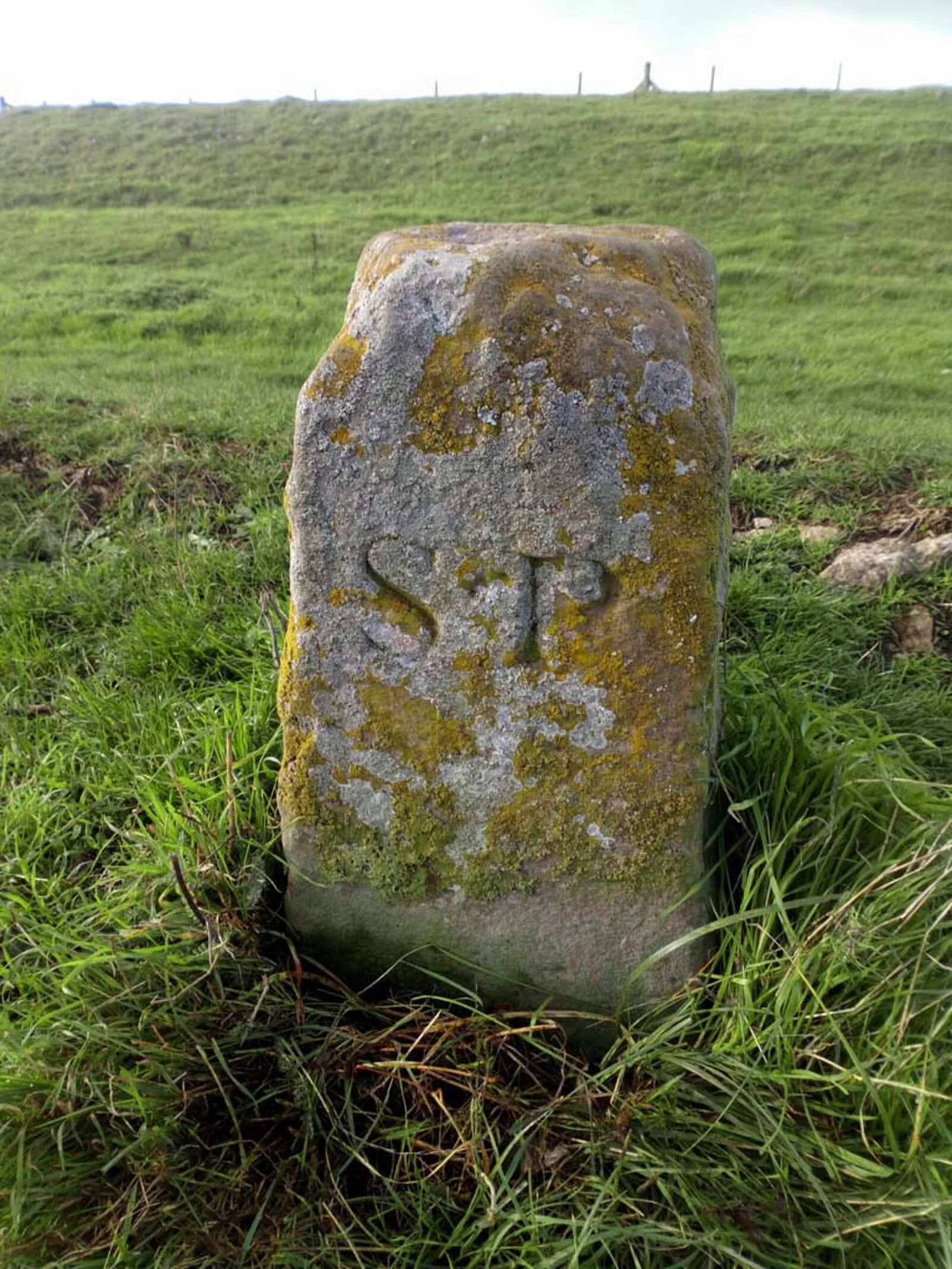
Also known as: Uleybury, Uley Bury Camp
| Type | Fortress/citadel |
|---|---|
| Period | 500 BC - 1 AD |
| Country | England |
| Coordinates | 51.6884° N, 2.3116° W |