
 England
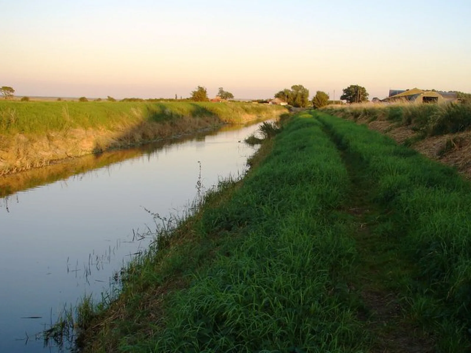
The Car Dyke is a long ditch which runs along the western edge of the Fens in eastern England for a distance of over 57 miles (92 km) [1]. It is generally accepted as being a Roman construction and was, for many centuries, considered to mark the western edge of the Fens [1]. Its name derives from carr, a fourteenth-century word for marsh or drained land [1]. The Car Dyke is a ditch that runs through the counties of Lincolnshire and Cambridgeshire [1]. The main section starts close to the River Witham at Washingborough, near Lincoln and runs in a generally southerly direction to Fengate on the River Nene [1]. The ditch is obviously artificial, since it runs from north to south, whereas all the natural drainage of the area runs from west to east, and it roughly follows the 10-foot contour [1]. The 57-mile northern part of the Car Dyke from Lincoln to Peterborough is reasonably easy to follow with earthworks extant upon the ground or from cropmarks visible from the air [1].
Text: Wikipedia – 'Car Dyke' (revision of 2026-04-19), CC BY-SA 4.0 · sentences selected and shortened by an AI system · source →Car Dyke
Also known as: カー・ダイク
| Type | Earthwork |
|---|---|
| Period | 1 - 500 AD |
| Country | England |
| Coordinates | 53.0127° N, 0.2678° W |