
 England
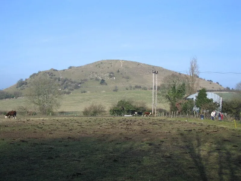
Cley Hill is a prominent hill to the west of Warminster in Wiltshire, England [1]. Its summit has a commanding view of the Wiltshire / Somerset county boundary, at 244 metres elevation [1]. Archaeological features include a large univallate Iron Age hill fort, two bowl barrows and medieval strip lynchets [1]. In 1812, local antiquarian Sir Richard Hoare attempted to excavate the mound at the top of the hill but found that it had been looted by grave robbers [1]. The south west side of the hill was quarried significantly in the 19th century [1].
Text: Wikipedia – 'Cley Hill' (revision of 2025-10-31), CC BY-SA 4.0 · sentences selected and shortened by an AI system · source →Cley Hill
| Type | Fort |
|---|---|
| Period | 1500 - 500 BC |
| Country | England |
| Coordinates | 51.2032° N, 2.2332° W |