
 England
Castle Rings is a univallate hill fort in the parish of Donhead St Mary in Wiltshire [1]. Castle Rings has been dated to the Iron Age and is at an altitude of 228 metres upon Upper Greensand sandstone beds [1]. In the mid-1980s a metal detectorist unearthed a hoard of stater coins of the Durotriges tribe within the hill fort [1]. The fort measures 320 by 200 metres, enclosing an area of 5.2 hectares [1]. There is a counter-scarp bank that averages 5 metres wide and varies in height from 3.1 metres at the southwest to between 0.8 and 1.5 metres at the northeast; at the southwest this bank is high enough to give the impression of a bivallate fort [1]. There are four gaps in the ramparts, one in each of the cardinal directions, but it is not known if these were original entrances to the fort [1]. The coins, which are attributed to the Durotriges, are now in the collection of the British Museum [1]. They were dug up on 13 October 1985 with twelve ceramic fragments; 88 coins were found in all, some 30 of these were said to be contained within the broken pottery [1].
Text: Wikipedia – 'Castle Rings, Wiltshire' (revision of 2026-03-01), CC BY-SA 4.0 · sentences selected and shortened by an AI system · source →Castle Rings, Wiltshire
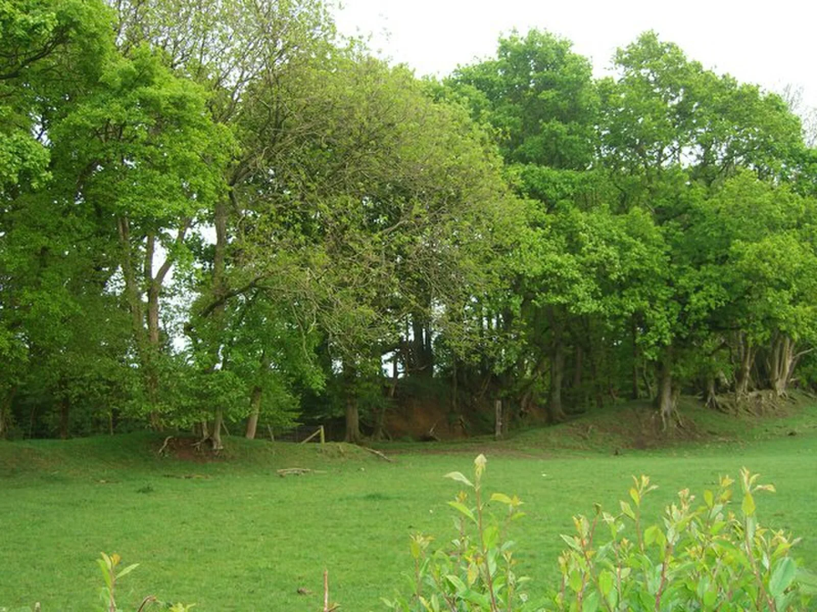
Also known as: Castle Rings, Castle Rings camp, Castle Rings, Donhead St Mary
| Type | Fortress/citadel |
|---|---|
| Period | 1500 - 500 BC |
| Country | England |
| Coordinates | 51.0252° N, 2.1603° W |