
 England
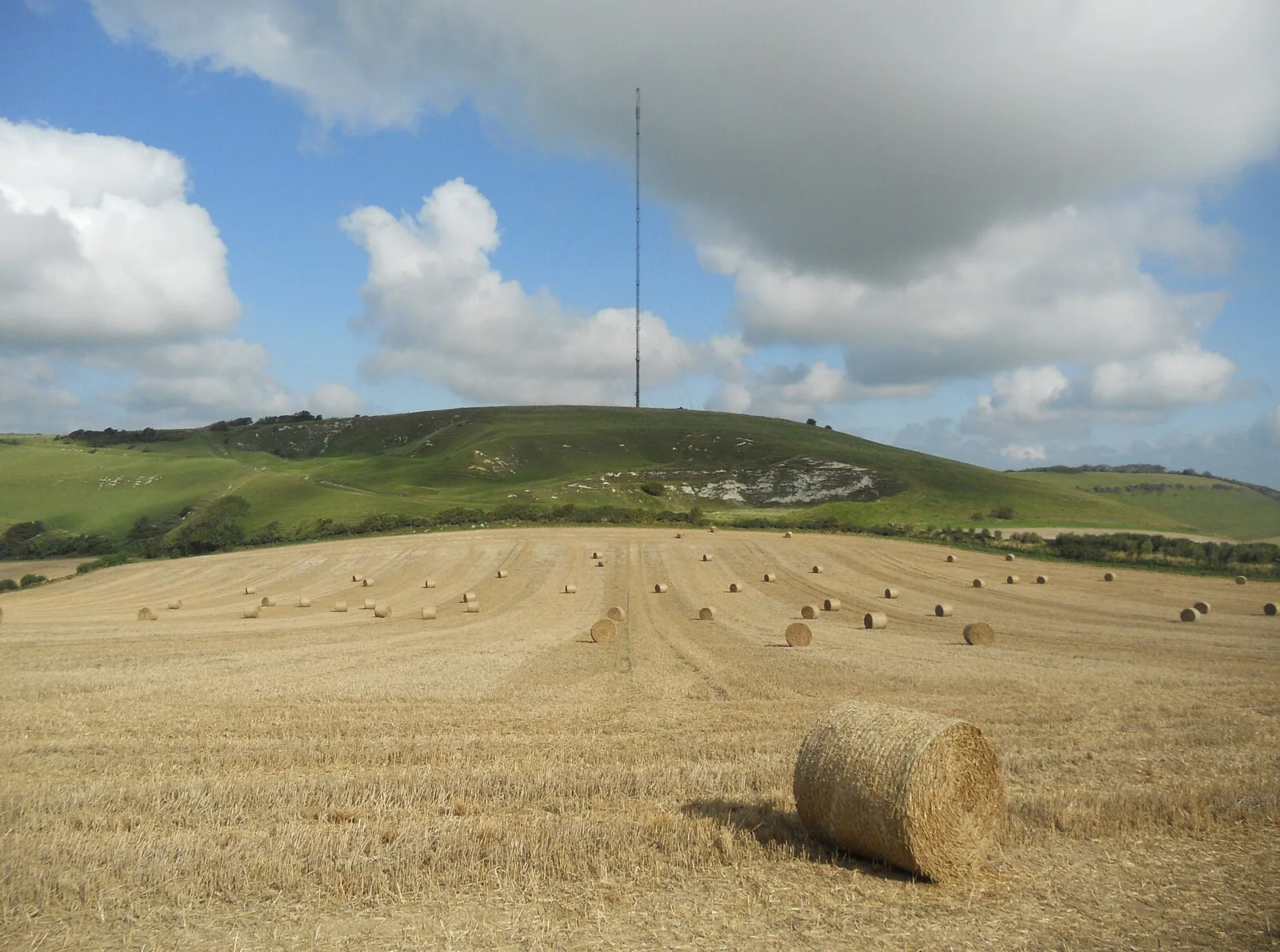
Chillerton Down is downland between the villages of Shorwell and Chillerton, on the Isle of Wight [1]. Across a spur of the hill running north-east to south-west, there are earthworks, originally a rampart, thought to be an unfinished promontory fort of the Iron Age [1]. The feature has been called the Five Barrows, because it has sunk in places, giving the appearance of separate mounds [1]. The rampart is about 84 metres long, 5 metres wide and up to 3 metres high, and there is a depression, formerly a ditch, on the south-west side [1].
Text: Wikipedia – 'Chillerton Down' (revision of 2026-07-06), CC BY-SA 4.0 · sentences selected and shortened by an AI system · source →Chillerton Down
| Type | Fort |
|---|---|
| Period | 1500 - 500 BC |
| Country | England |
| Coordinates | 50.6518° N, 1.3236° W |