
 England
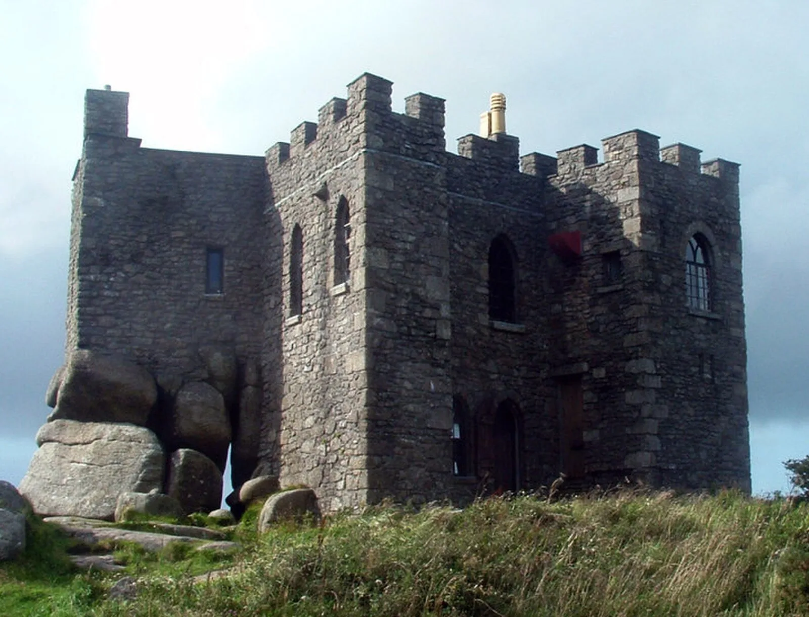
Carn Brea is a Neolithic tor enclosure in Cornwall, England, located 1.6 km southwest of Redruth [1]. The fortified hilltop settlement was occupied between 3700 and 3400 BC [1]. Archaeological excavations led by Roger Mercer revealed a 0.81-hectare inner enclosure surrounded by a 4.5-hectare outer rampart, both constructed with massive stone walls [1] [2]. The site represents Neolithic defensive architecture in southwestern England [1] [3].
Carn Brea, Redruth
Also known as: 칸 브리어, Carn Brea, Carn Brea civil parish, Carn Brea CP, Carn Brea (distrikt), Carn Brea (distrito), Carn Brea (plwyf), Karn Bre, Pluw Garnbre, Plwyf Garnbre, Карн-Бри, کارن بریا، ریڈ رتھ
| Type | City/town/settlement |
|---|---|
| Period | 4500 - 3000 BC |
| Country | England |
| Coordinates | 50.2221° N, 5.2471° W |