
 England
Castallack Round or Roundago is a prehistoric site near Castallack in Cornwall, England [1]. It is a scheduled monument [1]. The site is near the summit of a ridge overlooking the Lamorna valley [1]. Part of the rampart survives; it is composed of large stones and slabs, height about 1.6 metres and width 1.8 metres, forming an oval enclosure [1]. There was originally a surrounding ditch [1]. On the tithe map of 1840, the round is depicted as having a colonnade of stones leading from the entrance in the south to an inner circular enclosure; John Thomas Blight, describing it in 1865, found that these features had mostly disappeared [1]. To the north-west of the round there are thick stone walls, height up to 0.9 metres: the remains of a structure with an internal diameter of about 7.5 metres [1]. This is interpreted as a courtyard house, a type of building that developed in west Cornwall from the 2nd to 4th centuries AD [1].
Text: Wikipedia – 'Castallack Round' (revision of 2026-07-18), CC BY-SA 4.0 · sentences selected and shortened by an AI system · source →Castallack Round
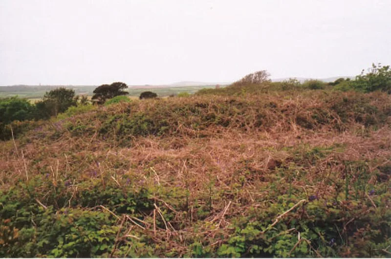
Also known as: Castallack Roundago, Round, courtyard house, stone hut circle settlement and field system 275m north of Castallack Carn
| Type | Settlement |
|---|---|
| Period | 1500 - 500 BC |
| Country | England |
| Coordinates | 50.0739° N, 5.5686° W |