
 Australia
The Burrup Peninsula, previously known as Dampier Island, is a former island of the Dampier Archipelago that is now connected to the mainland via a causeway [1]. The peninsula and islands together are also known as Murujuga [1]. The peninsula is located in the Pilbara region of Western Australia and contains the town of Dampier as well as the Murujuga National Park [1]. The traditional owners of Murujuga are an Aboriginal nation known as the Yaburara people [1]. Some of the Aboriginal rock carvings have been dated to more than 45,000 years old, and some of the collection is generally estimated to be 40,000–50,000 years old [1].
Text: Wikipedia – 'Burrup Peninsula' (revision of 2026-07-26), CC BY-SA 4.0 · sentences selected and shortened by an AI system · source →Murujuga
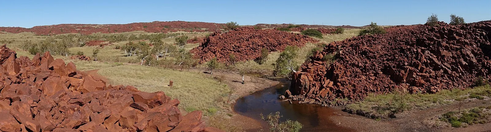
Also known as: Burrup Peninsula, Dampier Island, Półwysep Murujuga, Semenanjung Murujuga, Муруджуга, מורוג'וגה, ムルジュガ
| Type | Petroglyphs |
|---|---|
| Period | < 4500 BC |
| Country | Australia |
| Coordinates | 20.5808° S, 116.8080° E |