
 Australia
The Tarragal Caves are a network of large limestone caves and rockshelters which overlook the Bridgewater Lakes near the towns of Tarragal and Cape Bridgewater [1]. The caves were identified as important Aboriginal camping places early in the historic period, and were excavated in the late 1970s by Harry Lourandos, revealing stratified deposits in the floor of 11,300 years old, along with shell midden deposits and earth ovens over 11,000 years old [1]. One of the caves extends under ground for over 400 m and has a sinkhole opening to the surface so that there is a constant stream of air through the cave and rising up the hole [1]. Pollen analysis of sediments in the cave has assisted in reconstructing the Pleistocene climate and environment of the region and understanding what resources were available to Aborigines [1].
Text: Wikipedia – 'Tarragal Caves' (revision of 2026-08-04), CC BY-SA 4.0 · sentences selected and shortened by an AI system · source →Tarragal Caves
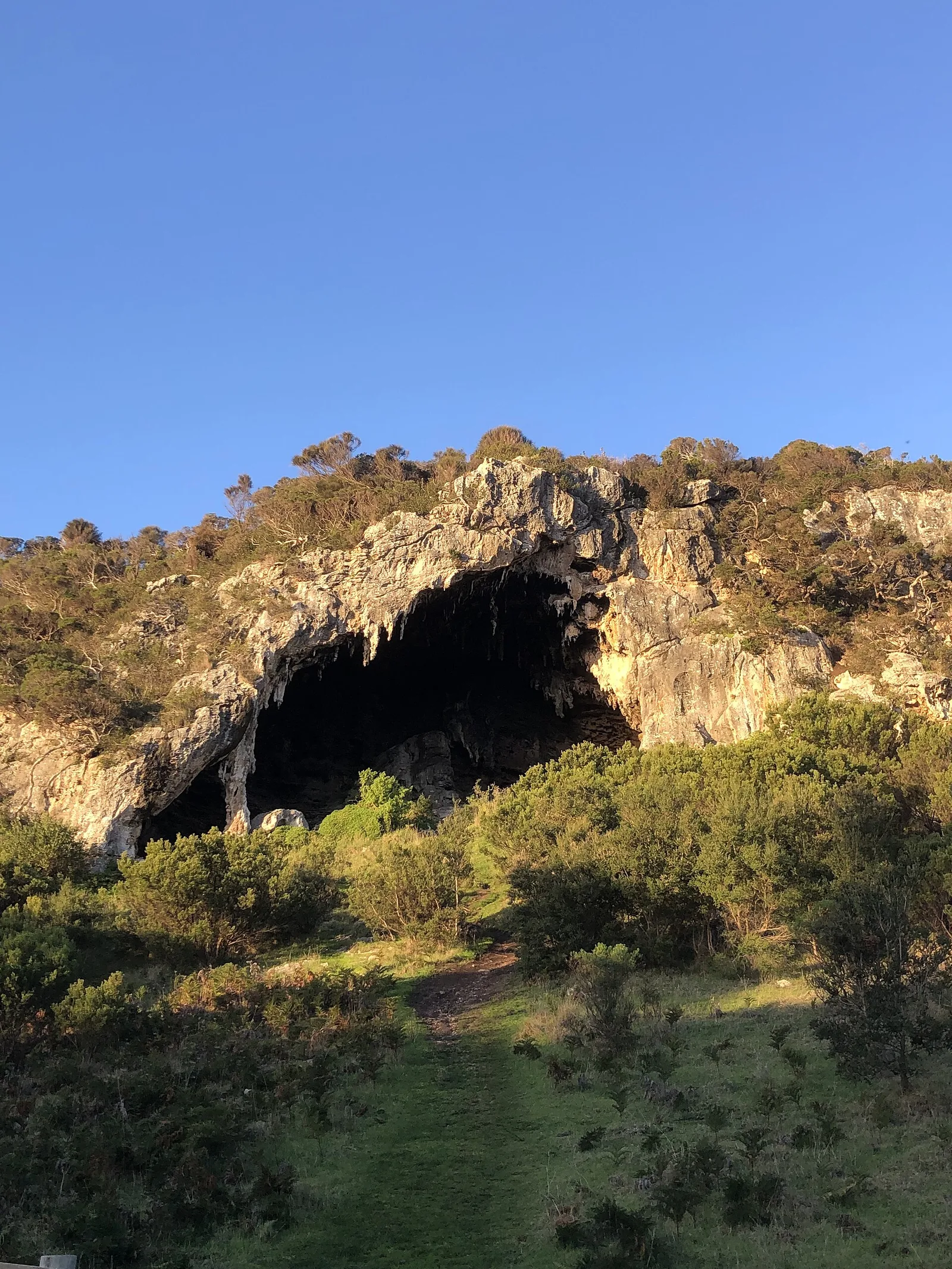
Also known as: Tarragal Caves, Victoria, كهوف طراغال
| Type | Cave Structures |
|---|---|
| Period | < 4500 BC |
| Country | Australia |
| Coordinates | 38.3184° S, 141.4078° E |