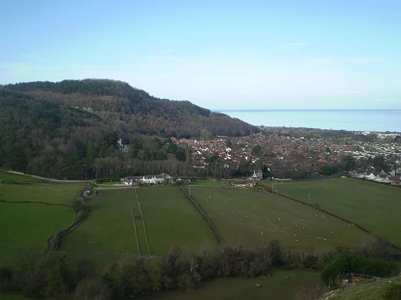
Castell Cawr

Castell Cawr
Mattcymru2 · CC BY-SA 3.0

(1500–500 BC) Castell Cawr is an Iron Age hillfort on the 189-metre hill of Tan-y-Gopa above Abergele, overlooking the River Clwyd [1]. The massive hillfort crowns an isolated hill on the escarpment above the coastal levels [2]. Today the heavily forested site is owned by the Woodland Trust and supports rare lesser horseshoe bats in caves within the hill [1]. The location offers extensive views to Snowdonia and the Clwydian Range [1].

TypeFortress/citadel
Period1500 - 500 BC
CountryWales
Coordinates53.2768° N, 3.5977° W

Related resources

More sites in Wales

Bedd-y-Cawr Hillfort · Moel Hiraddug · The Gop · Moel y Gaer, Bodfari · Castell Caer Seion · Pen y Gaer · Caer Bach · Penycloddiau · Moel Arthur · Caer Euni · Carnedd y Ddelw Cairn · Moel y Gaer, Llanbedr · Caer Drewyn · Foel Fenlli · Foel Dduarth - Cairn to North-East of · Foel Dduarth Enclosure · Carnedd y Saeson and Neighbouring Cairns North-West of Foel Dduarth · Enclosed Hut Circle Settlement - South-East of Bod Silin · Moel Tŷ Uchaf · Moel y Gaer, Rhosesmor · Cras - Ring Cairn to North of · Cras - Round Cairn to North of · Cras Round Cairn · Moel y Gaer, Llantysilio

All sites in Wales

Was this page useful?

Keep exploring

Every site on this page sits on the globe, and the people who research them are on the Discord.

3D Globe · Sites by country · Story Archive · Research Library · Weekly Journal · Search